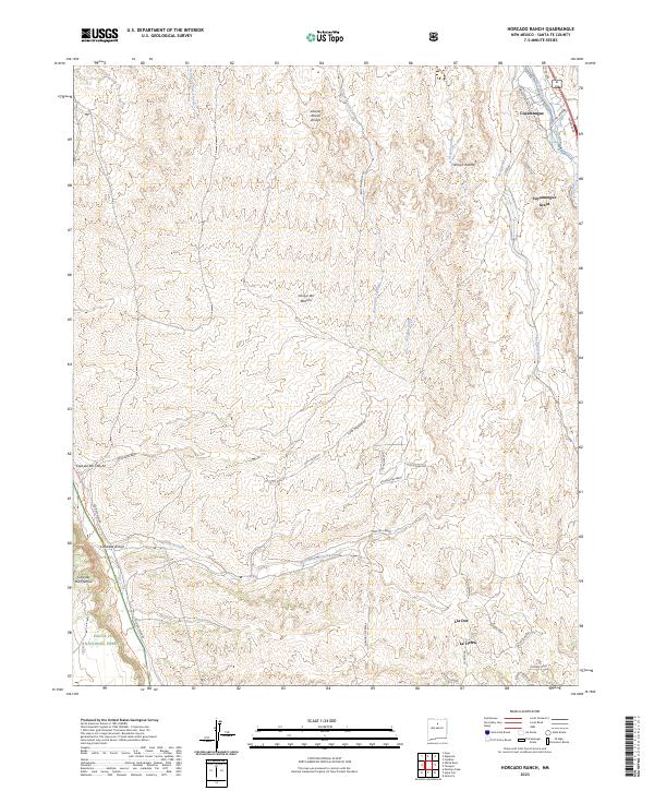
2023 Map of Horcado Ranch
USGS Topo · Published 2023About this map
Cuyamungue Grant and the Santa Fe National Forest anchor this landscape, where the high desert terrain is defined by an intricate network of seasonal drainages. The Caja del Rio Plateau and Caja del Rio Canyon dominate the western portion of the map, revealing a rugged geography historically traversed by routes like the Camino Real Trl and Old Buckman Rd. Residential developments like Las Dos and La Tierra sit south of the winding Calabasa Arroyo, showing the modern footprint of Santa Fe's northern outskirts.
Find a feature on this map
46 named features on this map. Tap any name to fly to it.
Don’t see what you’re looking for? This feature index may not catch every label — zoom into the map to look around manually.
Map Details
Editions of this 2023 Horcado Ranch Map
This is the sole edition of this map. No revisions or reprints were ever made.
Other maps of this area

1889 · Santa Fe
USGS Topo · 1:125,000

1892 · Santa Clara
USGS Topo · 1:125,000

1894 · Santa Fe
USGS Topo · 1:125,000

1951 · Agua Fria
USGS Topo · 1:24,000

1952 · Santa Fe
USGS Topo · 1:24,000

1952 · White Rock
USGS Topo · 1:24,000

1952 · Puye
USGS Topo · 1:24,000

1952 · Montoso Peak
USGS Topo · 1:24,000

1953 · Tesuque
USGS Topo · 1:24,000

1953 · Espanola
USGS Topo · 1:24,000