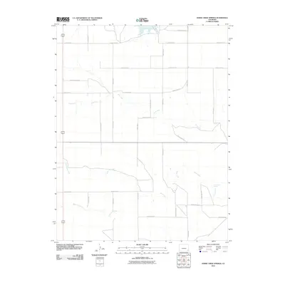
2010 Map of Horse Creek Springs
USGS Topo · Published 2010About this map
Horse Creek Springs serves as a critical water point in this high plains landscape of Baca County, where the hydrology defines the local geography. The area is characterized by the confluence and drainage patterns of Horse Creek, North Horse Creek, and South Horse Creek, which carve subtle paths through the terrain. To the north, the presence of the Two Buttes Reservoir indicates the importance of water management and storage in this arid ranching and farming region. The map reveals a strictly organized grid of county roads, such as County Rd VV and County Rd-27, which provide access across the vast open sections typical of the Colorado plains. This network of thoroughfares connects isolated homesteads and land tracts to the seasonal flows of Sand Creek and the eponymous springs.
Find a feature on this map
26 named features on this map. Tap any name to fly to it.
Don’t see what you’re looking for? This feature index may not catch every label — zoom into the map to look around manually.
Map Details
Editions of this 2010 Horse Creek Springs Map
This is the sole edition of this map. No revisions or reprints were ever made.
Other maps of this area

1891 · Albany
USGS Topo · 1:125,000

1891 · Springfield
USGS Topo · 1:125,000

1892 · Vilas
USGS Topo · 1:125,000

1892 · Two Butte
USGS Topo · 1:125,000

1893 · Two Butte
USGS Topo · 1:125,000

1893 · Springfield
USGS Topo · 1:125,000

1893 · Albany
USGS Topo · 1:125,000

1955 · La Junta
USGS Topo · 1:250,000

1958 · La Junta
USGS Topo · 1:250,000

1968 · La Junta
USGS Topo · 1:250,000