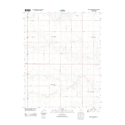
2013 Map of Horse Creek Springs
USGS Topo · Published 2013About this map
Two Buttes Reservoir sits at the northern edge of this high plains landscape in Baca County, where the hydrology of the region is defined by several seasonal watercourses. The drainage patterns of Sand Creek, North Horse Creek, and South Horse Creek converge across the terrain, illustrating the semi-arid environment's reliance on these intermittent flows. A rare permanent water source, Horse Creek Springs, provides a critical ecological and historical focal point in the eastern portion of the map. This area is organized by a strict grid of rural roads, including Co-116 and Us-287 N, which facilitate transport through the vast agricultural and ranching tracts. The map captures the intersection of these modern transit routes with the natural drainages that have shaped land use in this corner of Colorado for generations.
Find a feature on this map
30 named features on this map. Tap any name to fly to it.
Don’t see what you’re looking for? This feature index may not catch every label — zoom into the map to look around manually.
Map Details
Editions of this 2013 Horse Creek Springs Map
This is the sole edition of this map. No revisions or reprints were ever made.
Other maps of this area

1891 · Albany
USGS Topo · 1:125,000

1891 · Springfield
USGS Topo · 1:125,000

1892 · Vilas
USGS Topo · 1:125,000

1892 · Two Butte
USGS Topo · 1:125,000

1893 · Two Butte
USGS Topo · 1:125,000

1893 · Springfield
USGS Topo · 1:125,000

1893 · Albany
USGS Topo · 1:125,000

1955 · La Junta
USGS Topo · 1:250,000

1958 · La Junta
USGS Topo · 1:250,000

1968 · La Junta
USGS Topo · 1:250,000