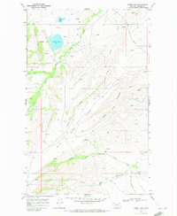
1968 Map of Horse Lake
USGS Topo · Published 1972About this map
The Blackfeet Indian Reservation dominates this landscape in Glacier County, where the transition from high plains to mountain foothills is marked by an intricate network of waterways. Water management and natural drainage are central themes here, as evidenced by the Cut Bank Greasewood Canal and the branching forks of Greasewood Creek. The map documents a sparsely settled area where life followed the natural contours of the land and the paths of the Milk River and its South Fork.
Find a feature on this map
20 named features on this map. Tap any name to fly to it.
Don’t see what you’re looking for? This feature index may not catch every label — zoom into the map to look around manually.
Map Details
Editions of this 1968 Horse Lake Map
This is the sole edition of this map. No revisions or reprints were ever made.
Other maps of this area

1901 · Browning
USGS Topo · 1:125,000

1903 · Browning
USGS Topo · 1:125,000

1960 · Cut Bank
USGS Topo · 1:250,000

1963 · Cut Bank
USGS Topo · 1:250,000

1964 · Cut Bank
USGS Topo · 1:250,000

1968 · Josephine
USGS Topo · 1:24,000
1968 · Kiowa
USGS Topo · 1:24,000

1968 · Hoodoo Hill
USGS Topo · 1:24,000
1968 · Duck Lake
USGS Topo · 1:24,000

1968 · Browning NE
USGS Topo · 1:24,000