
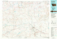
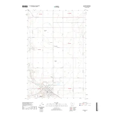
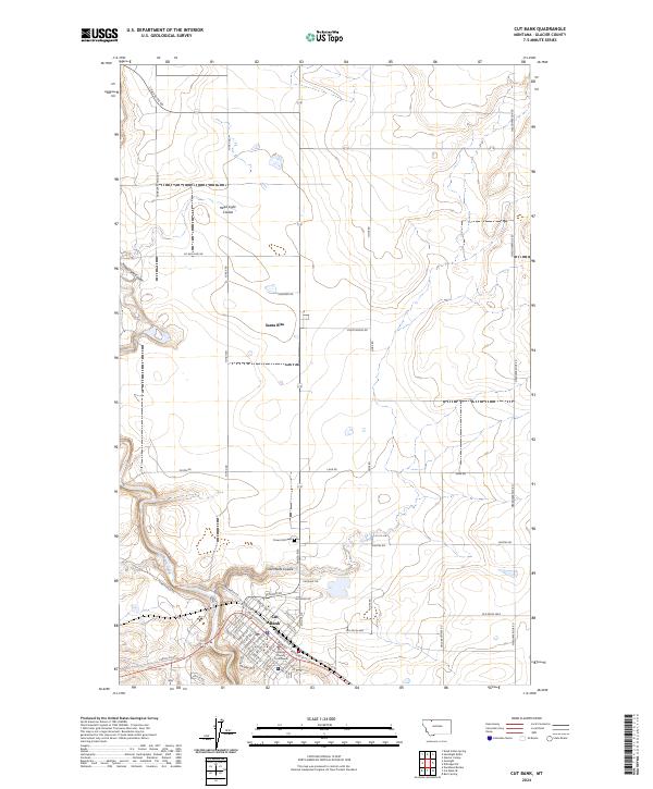
1963 Map of Cut Bank
USGS Topo · Published 1963About this map
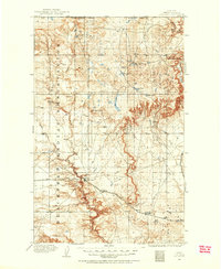
The Continental Divide and the Hudson Bay Divide converge within Glacier National Park, creating a complex hydrological landscape where waters flow toward three different oceans. This 1963 survey illustrates the dramatic elevation changes from the high peaks of Mount Cleveland and Mount Stimson down to the eastern plains of the Blackfeet Indian Reservation. The Great Northern railroad provides the primary transit corridor through the southern reaches of the park, connecting settlements like East Glacier Park and Browning with the larger regional hub at Cut Bank. Notable landmarks such as the Going-To-The-Sun Road are clearly marked, winding past Lake McDonald and Saint Mary Lake. To the south, the impact of mid-century water management is evident in the Hungry Horse Reservoir and smaller irrigation features near Valier.
Find a feature on this map
94 named features on this map. Tap any name to fly to it.
Don’t see what you’re looking for? This feature index may not catch every label — zoom into the map to look around manually.
Map Details
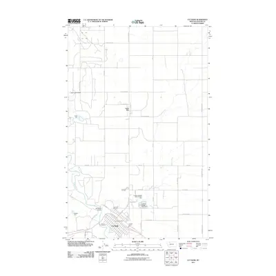
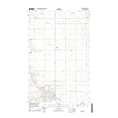
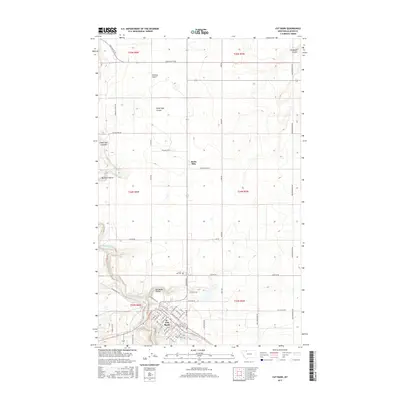
Editions of this 1963 Cut Bank Map
This is the sole edition of this map. No revisions or reprints were ever made.
Historical Maps of Cut Bank Through Time
12 maps found
1909 Cut Bank
Glacier County, MT
1912 Cut Bank
Glacier County, MT
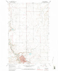
1960 Cut Bank
Glacier County, MT
1963 Cut Bank
Glacier County, MT

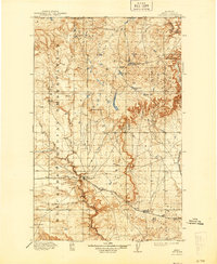
1964 Cut Bank
Glacier County, MT
1966 Cut Bank
Glacier County, MT
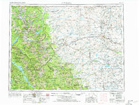
1984 Cut Bank
Glacier County, MT
2011 Cut Bank
Glacier County, MT
2014 Cut Bank
Glacier County, MT
2017 Cut Bank
Glacier County, MT
2020 Cut Bank
Glacier County, MT
2024 Cut Bank
Glacier County, MT