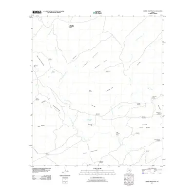
2010 Map of Horse Mountain
USGS Topo · Published 2010About this map
Old Edith Lochausen Place and Old Corbett Place serve as primary identifiers for the human history of this arid Brewster County terrain. The landscape is defined by its water management infrastructure, with a network of windmills such as Rice Windmill and GrangerCove Windmill scattered across the flats and draws. These wells provided the essential lifelines for livestock and residents in an environment where named water sources are often ephemeral, like the Peña Blanca Creek and San Francisco Creek.
Find a feature on this map
37 named features on this map. Tap any name to fly to it.
Don’t see what you’re looking for? This feature index may not catch every label — zoom into the map to look around manually.
Map Details
Editions of this 2010 Horse Mountain Map
This is the sole edition of this map. No revisions or reprints were ever made.
Other maps of this area

1917 · Hood Spring
USGS Topo · 1:62,500

1918 · Bone Spring
USGS Topo · 1:125,000

1918 · Hood Spring
USGS Topo · 1:62,500

1918 · Dove Mountain
USGS Topo · 1:62,500

1920 · Longfellow
USGS Topo · 1:125,000

1920 · Marathon
USGS Topo · 1:62,500

1921 · Marathon
USGS Topo · 1:62,500

1931 · Hood Spring
USGS Topo · 1:62,500

1954 · Fort Stockton
USGS Topo · 1:250,000

1958 · Fort Stockton
USGS Topo · 1:250,000