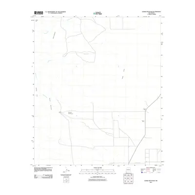
2010 Map of Horse Mountain
USGS Topo · Published 2010About this map
The Animas Mountains dominate the western portion of this 2010 topographic record, dropping away into the broad expanse of the Playas Valley to the east. This landscape in Hidalgo County is defined by its ranching heritage and high-desert drainage patterns, where seasonal waters like Cowboy Creek, Bluff Creek, and Tullous Creek carve through the arid terrain. The map documents large-scale landholdings characteristic of the region, including the Great Lakes Land and Cattle Company and several established family-named outposts. Notable landmarks such as Horse Mountain and the distinct edge of Cowboy Rim provide significant orientation points for anyone studying the geographical transition between the rugged mountains and the flat valley floors where County RD-C012 provides the primary access route.
Find a feature on this map
13 named features on this map. Tap any name to fly to it.
Don’t see what you’re looking for? This feature index may not catch every label — zoom into the map to look around manually.
Map Details
Editions of this 2010 Horse Mountain Map
This is the sole edition of this map. No revisions or reprints were ever made.
Other maps of this area

1917 · Antelope Wells
USGS Topo · 1:62,500

1918 · Big Hatchet Peak
USGS Topo · 1:62,500

1918 · Dog Mountains
USGS Topo · 1:62,500

1918 · Walnut Wells
USGS Topo · 1:62,500

1919 · Antelope Wells
USGS Topo · 1:62,500

1923 · Walnut Wells
USGS Topo · 1:62,500

1955 · Douglas
USGS Topo · 1:250,000

1959 · Douglas
USGS Topo · 1:250,000

1961 · Douglas
USGS Topo · 1:250,000

1964 · Douglas
USGS Topo · 1:250,000