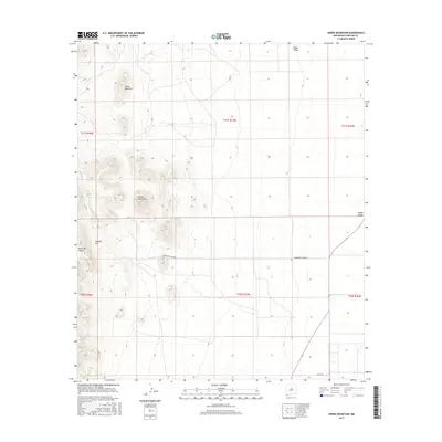
2017 Map of Horse Mountain
USGS Topo · Published 2017About this map
Horse Mountain and the Animas Mountains dominate this high-desert landscape in the southwestern corner of New Mexico. The terrain is defined by dramatic elevation changes, where the slopes of the mountains give way to the expansive Playas Valley to the east. Several seasonal watercourses, including Cowboy Cr, Bluff Cr, and Fullous Cr, drain these western ranges, illustrating the critical drainage patterns of this arid environment.
Find a feature on this map
16 named features on this map. Tap any name to fly to it.
Don’t see what you’re looking for? This feature index may not catch every label — zoom into the map to look around manually.
Map Details
Editions of this 2017 Horse Mountain Map
This is the sole edition of this map. No revisions or reprints were ever made.
Other maps of this area

1917 · Antelope Wells
USGS Topo · 1:62,500

1918 · Big Hatchet Peak
USGS Topo · 1:62,500

1918 · Dog Mountains
USGS Topo · 1:62,500

1918 · Walnut Wells
USGS Topo · 1:62,500

1919 · Antelope Wells
USGS Topo · 1:62,500

1923 · Walnut Wells
USGS Topo · 1:62,500

1955 · Douglas
USGS Topo · 1:250,000

1959 · Douglas
USGS Topo · 1:250,000

1961 · Douglas
USGS Topo · 1:250,000

1964 · Douglas
USGS Topo · 1:250,000