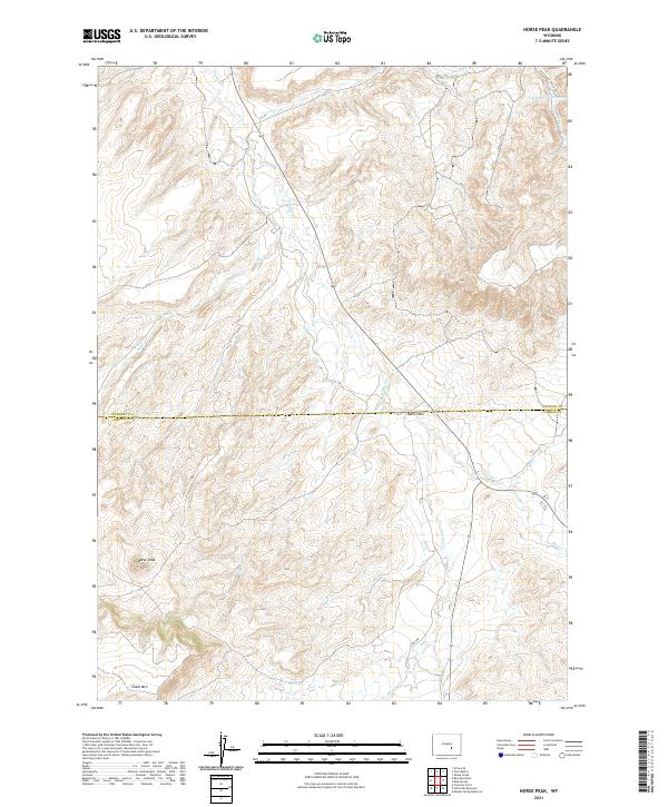
2021 Map of Horse Peak
USGS Topo · Published 2021About this map
Horse Peak dominates this high-altitude landscape where the border between Natrona and Carbon Counties cuts through a complex network of drainages and ridges. The terrain is characterized by significant natural depressions and heights, including the broad basin of Bates Hole and the distinct rise of Chalk Mtn. This 2021 survey reveals a landscape primarily managed for ranching and resource movement, evidenced by the presence of the Bates Hole Stock Trl and various water management features like the Chalk Hill Reservoirs.
Find a feature on this map
16 named features on this map. Tap any name to fly to it.
Don’t see what you’re looking for? This feature index may not catch every label — zoom into the map to look around manually.
Map Details
Editions of this 2021 Horse Peak Map
This is the sole edition of this map. No revisions or reprints were ever made.
Other maps of this area

1950 · Alcova SE
USGS Topo · 1:24,000

1951 · Bear Mountain
USGS Topo · 1:24,000

1953 · Fourmile Point
USGS Topo · 1:24,000

1955 · Casper
USGS Topo · 1:250,000

1958 · Casper
USGS Topo · 1:250,000

1960 · Twin Buttes
USGS Topo · 1:24,000

1960 · Wild Irish Reservoir
USGS Topo · 1:24,000

1960 · Horse Peak
USGS Topo · 1:24,000

1960 · Sheep Creek
USGS Topo · 1:24,000

1960 · Mud Springs
USGS Topo · 1:24,000