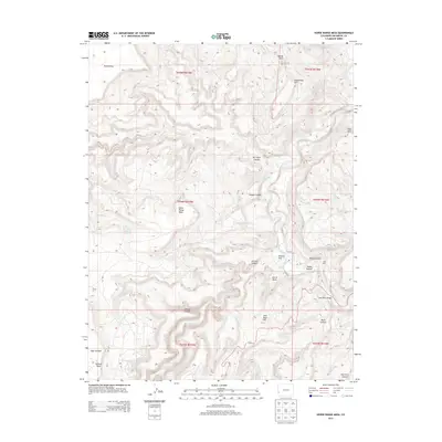
2013 Map of Horse Range Mesa
USGS Topo · Published 2013About this map
Dolores River canyonlands define this portion of San Miguel County, where the waterway carves a deep path through the high desert plateau. The landscape is a network of named mesas and drainages, notably Horse Range Mesa and Island Mesa, which stand above a series of rugged corridors including Summit Canyon and Mc Intyre Canyon. This 2013 survey illustrates a landscape primarily shaped by its hydrology and relief, with specific water sources like Horse Range Spring appearing as critical landmarks in an otherwise arid environment.
Find a feature on this map
32 named features on this map. Tap any name to fly to it.
Don’t see what you’re looking for? This feature index may not catch every label — zoom into the map to look around manually.
Map Details
Editions of this 2013 Horse Range Mesa Map
This is the sole edition of this map. No revisions or reprints were ever made.
Other maps of this area

1885 · La Sal
USGS Topo · 1:250,000

1886 · Abajo
USGS Topo · 1:250,000

1892 · Abajo
USGS Topo · 1:250,000

1893 · Abajo
USGS Topo · 1:250,000

1916 · Paradox Valley
USGS Topo · 1:125,000

1922 · Paradox Valley
USGS Topo · 1:125,000

1948 · Bull Canyon
USGS Topo · 1:24,000

1948 · Horse Range Mesa
USGS Topo · 1:24,000

1948 · Hamm Canyon
USGS Topo · 1:24,000

1949 · Bull Canyon
USGS Topo · 1:24,000