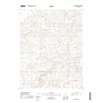
2019 Map of Horse Range Mesa
USGS Topo · Published 2019About this map
The Dolores River carves a deep path through the high desert of San Miguel County, creating a landscape defined by dramatic elevation changes and named landforms. To the north, Island Mesa and the Grassy Hills dominate the high ground above Mc Intyre Canyon, while the central portion of the map is occupied by the extensive Horse Range Mesa. Rare water sources in this arid environment are marked by the Horse Range Spring, a vital point in a territory otherwise shaped by dry washes and canyons such as Nicholas Wash and Cougar Canyon.
Find a feature on this map
43 named features on this map. Tap any name to fly to it.
Don’t see what you’re looking for? This feature index may not catch every label — zoom into the map to look around manually.
Map Details
Editions of this 2019 Horse Range Mesa Map
This is the sole edition of this map. No revisions or reprints were ever made.
Other maps of this area

1885 · La Sal
USGS Topo · 1:250,000

1886 · Abajo
USGS Topo · 1:250,000

1892 · Abajo
USGS Topo · 1:250,000

1893 · Abajo
USGS Topo · 1:250,000

1916 · Paradox Valley
USGS Topo · 1:125,000

1922 · Paradox Valley
USGS Topo · 1:125,000

1948 · Bull Canyon
USGS Topo · 1:24,000

1948 · Horse Range Mesa
USGS Topo · 1:24,000

1948 · Hamm Canyon
USGS Topo · 1:24,000

1949 · Bull Canyon
USGS Topo · 1:24,000