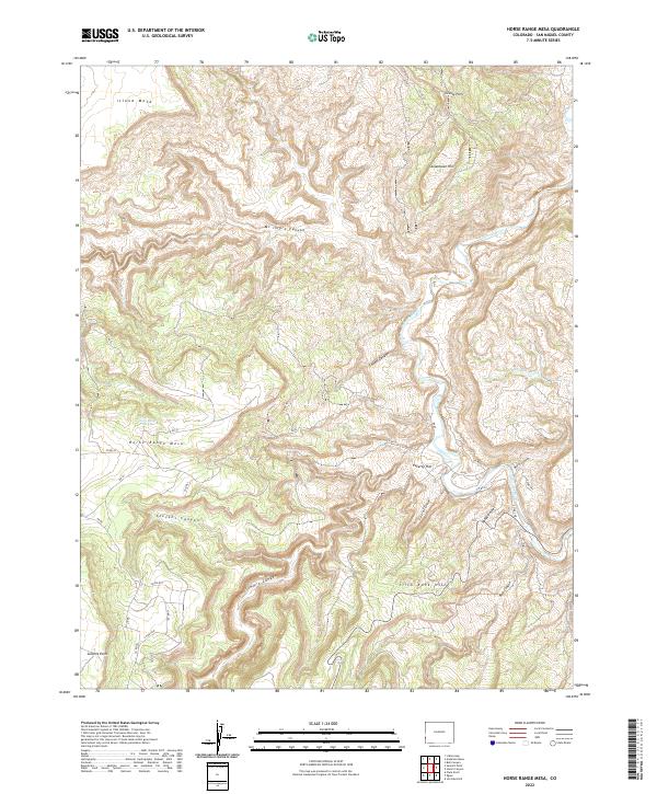
2022 Map of Horse Range Mesa
USGS Topo · Published 2022About this map
The Dolores River cuts a deep course through this corner of San Miguel County, framing a high plateau landscape defined by prominent mesas and extensive canyon systems. The namesake Horse Range Mesa dominates the central portion of the map, supported by the vital Horse Range Spring and bordered by the deep incisions of Mc Intyre Canyon to the north and Stevens Canyon to the south.
Find a feature on this map
39 named features on this map. Tap any name to fly to it.
Don’t see what you’re looking for? This feature index may not catch every label — zoom into the map to look around manually.
Map Details
Editions of this 2022 Horse Range Mesa Map
This is the sole edition of this map. No revisions or reprints were ever made.
Other maps of this area

1885 · La Sal
USGS Topo · 1:250,000

1886 · Abajo
USGS Topo · 1:250,000

1892 · Abajo
USGS Topo · 1:250,000

1893 · Abajo
USGS Topo · 1:250,000

1916 · Paradox Valley
USGS Topo · 1:125,000

1922 · Paradox Valley
USGS Topo · 1:125,000

1948 · Bull Canyon
USGS Topo · 1:24,000

1948 · Horse Range Mesa
USGS Topo · 1:24,000

1948 · Hamm Canyon
USGS Topo · 1:24,000

1949 · Bull Canyon
USGS Topo · 1:24,000