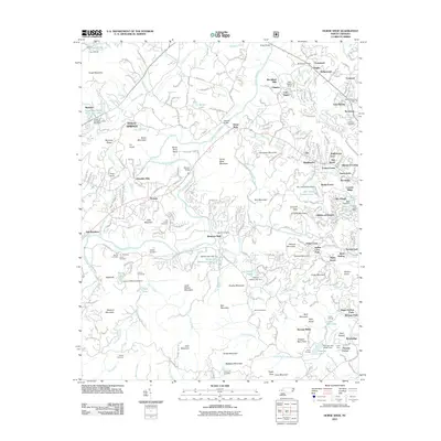
2011 Map of Horse Shoe
USGS Topo · Published 2011About this map
The French Broad River snakes through this Henderson County landscape, defining the character of the Horse Shoe community. Long-established family legacies are evident in the numerous burial grounds, including the Mill Pond Cemetery, Beulah Cemetery, and Justus Cemetery. The region's agricultural and early industrial history is anchored by the Forge Mountain Grist Mill near Boylston, while more modern institutional footprints include the State Prison Camp Number 124. Residential pockets like Etowah and Woodland Hills contrast with the rugged terrain of the Drysdale Hills and Jumpoff Mountain. This survey also documents prominent recreational sites, from Camp Osceola in the north to Camp Kanuga and Camp Tekoa in the south, illustrating the area's transition into a destination for summer camps and parks like Indian Cave Park.
Find a feature on this map
253 named features on this map. Tap any name to fly to it.
Don’t see what you’re looking for? This feature index may not catch every label — zoom into the map to look around manually.
Map Details
Editions of this 2011 Horse Shoe Map
This is the sole edition of this map. No revisions or reprints were ever made.
Other maps of this area

1905 · Pisgah
USGS Topo · 1:125,000

1906 · Pisgah
USGS Topo · 1:125,000

1907 · Saluda
USGS Topo · 1:125,000

1935 · Brevard
USGS Topo · 1:24,000

1935 · Standingstone Mtn.
USGS Topo · 1:24,000

1935 · Horse Shoe
USGS Topo · 1:24,000

1935 · Hendersonville
USGS Topo · 1:24,000

1935 · Zirconia
USGS Topo · 1:24,000

1935 · Pisgah Forest
USGS Topo · 1:24,000

1936 · Skyland
USGS Topo · 1:24,000