
1935 Map of Zirconia
USGS Topo · Published 1935About this map
Blue Ridge heights define this portion of Henderson County as documented during a 1935 field examination by the Tennessee Valley Authority. The map, compiled from aerial photographs, shows a sparse mountain landscape focused on the ridge line, where peaks like McAlpine Mtn and Potato Hill stand as prominent landmarks. A small cluster of community life is visible near Huckleberry Ridge, including the Mt Olivet Ch and the intriguing Gem label, possibly indicating a local mining site or crossroads. Transport is limited to early routes like US Hy No 25 ST No 69 and a network of trails winding through Grab Creek and along Capps Creek. This advance sheet represents a precise moment in Appalachian surveying history just as modern photographic mapping techniques were being standardized.
Find a feature on this map
14 named features on this map. Tap any name to fly to it.
Don’t see what you’re looking for? This feature index may not catch every label — zoom into the map to look around manually.
Map Details
Editions of this 1935 Zirconia Map
This is the sole edition of this map. No revisions or reprints were ever made.
Other maps of this area

1905 · Pisgah
USGS Topo · 1:125,000

1906 · Pisgah
USGS Topo · 1:125,000

1907 · Saluda
USGS Topo · 1:125,000

1935 · Standingstone Mtn.
USGS Topo · 1:24,000

1935 · Horse Shoe
USGS Topo · 1:24,000

1935 · Hendersonville
USGS Topo · 1:24,000

1935 · Fishtop
USGS Topo · 1:24,000
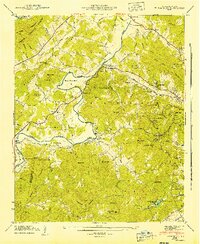
1942 · Horse Shoe
USGS Topo · 1:24,000
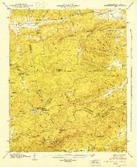
1946 · Standingstone Mtn.
USGS Topo · 1:24,000

1946 · Zirconia
USGS Topo · 1:24,000