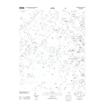
2013 Map of Horse Shoe
USGS Topo · Published 2013About this map
The French Broad River winds through this mountain landscape, creating a distinct geography defined by river crossings and upland ridges. Along the water, historical points of transit like Kings Bridge, Johnson Bridge, and McLean Bridge serve as focal points for local navigation. The terrain is marked by prominent elevations such as Jumpoff Mountain and the Drysdale Hills, while the river itself carves out the notable Horse Shoe Bend. This 2013 survey illustrates a mix of traditional mountain landmarks and recreational sites, including Camp Kanuga and Camp Tekoa, alongside more institutional markers such as the State Prison Camp Number 124. The map provides a detailed view of the valley's settlement patterns, from the residential clusters at Brightwater and Rugby to the isolated clearing of Tobacco Barn Field near Kanuga Ridge.
Find a feature on this map
120 named features on this map. Tap any name to fly to it.
Don’t see what you’re looking for? This feature index may not catch every label — zoom into the map to look around manually.
Map Details
Editions of this 2013 Horse Shoe Map
This is the sole edition of this map. No revisions or reprints were ever made.
Other maps of this area

1905 · Pisgah
USGS Topo · 1:125,000

1906 · Pisgah
USGS Topo · 1:125,000

1907 · Saluda
USGS Topo · 1:125,000

1935 · Brevard
USGS Topo · 1:24,000

1935 · Standingstone Mtn.
USGS Topo · 1:24,000

1935 · Horse Shoe
USGS Topo · 1:24,000

1935 · Hendersonville
USGS Topo · 1:24,000

1935 · Zirconia
USGS Topo · 1:24,000

1935 · Pisgah Forest
USGS Topo · 1:24,000

1936 · Skyland
USGS Topo · 1:24,000