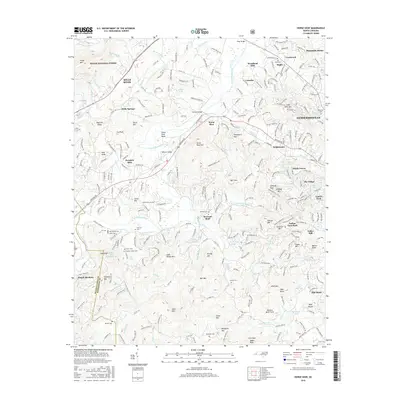
2016 Map of Horse Shoe
USGS Topo · Published 2016About this map
The French Broad River carves a distinctive path through this Henderson County landscape, notably creating the namesake Horse Shoe Bend near the settlement of Horse Shoe. This 2016 survey documents a region defined by its transition from the peaks of the Pisgah National Forest and Forge Mtn to the more developed suburban corridors of Hendersonville and Mills River. Local history is deeply embedded in the terrain, with numerous family-named landmarks and historical sites like Patterson Cem, McCarson Cem, and the Tobacco Barn Field near Corn Mtn.
Find a feature on this map
289 named features on this map. Tap any name to fly to it.
Don’t see what you’re looking for? This feature index may not catch every label — zoom into the map to look around manually.
Map Details
Editions of this 2016 Horse Shoe Map
This is the sole edition of this map. No revisions or reprints were ever made.
Other maps of this area
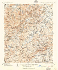
1905 · Pisgah
USGS Topo · 1:125,000
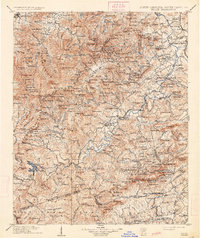
1906 · Pisgah
USGS Topo · 1:125,000

1907 · Saluda
USGS Topo · 1:125,000
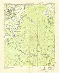
1935 · Brevard
USGS Topo · 1:24,000
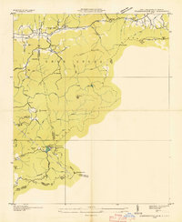
1935 · Standingstone Mtn.
USGS Topo · 1:24,000
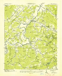
1935 · Horse Shoe
USGS Topo · 1:24,000
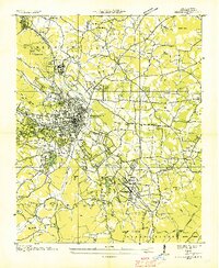
1935 · Hendersonville
USGS Topo · 1:24,000
1935 · Zirconia
USGS Topo · 1:24,000
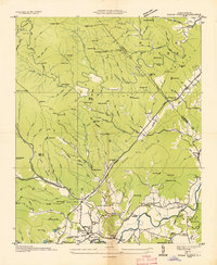
1935 · Pisgah Forest
USGS Topo · 1:24,000
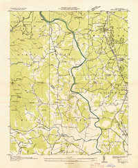
1936 · Skyland
USGS Topo · 1:24,000