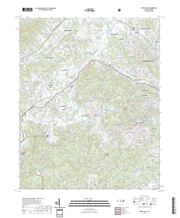
2023 Map of Horse Shoe
USGS Topo · Published 2023About this map
Horse Shoe and the surrounding Henderson County settlements are defined by the winding course of the French Broad River, which creates the prominent Horse Shoe Bend. This landscape reflects a mix of traditional agricultural roots and more modern residential developments, with older sites like Tobacco Barn Field and numerous family cemeteries scattered across the terrain. Genealogists will find a wealth of records in sites such as Oak Forest Cem, Old Beulah Cem, and Osteen Patterson Cem.
Find a feature on this map
105 named features on this map. Tap any name to fly to it.
Don’t see what you’re looking for? This feature index may not catch every label — zoom into the map to look around manually.
Map Details
Editions of this 2023 Horse Shoe Map
This is the sole edition of this map. No revisions or reprints were ever made.
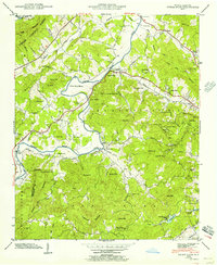
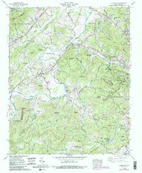
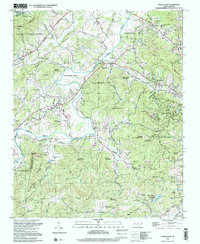
Historical Maps of Quail Hollow Through Time
5 maps found