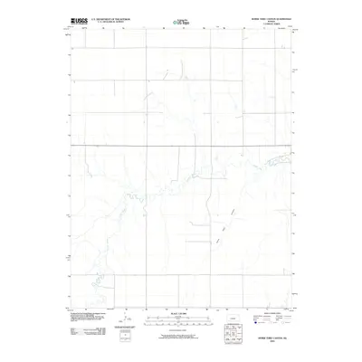
2009 Map of Horse Thief Canyon
USGS Topo · Published 2009About this map
Buckner Creek meanders through the heart of this central Kansas landscape, carving a serpentine path across the prairie south of Horse Thief Canyon. This 2009 survey by the U.S. Geological Survey illustrates the transition of the High Plains terrain where subtle drainage systems like the canyon define the local relief. The map reveals a sparse network of section-line roads and local thoroughfares, highlighting the agricultural and open-range character of Hodgeman County. Beyond the primary watercourse, the land is marked by small draws and intermittent tributaries that feed into the larger creek system, reflecting the hydrologic patterns of the region before significant modern development altered the drainage profile.
Find a feature on this map
2 named features on this map. Tap any name to fly to it.
Don’t see what you’re looking for? This feature index may not catch every label — zoom into the map to look around manually.
Map Details
Editions of this 2009 Horse Thief Canyon Map
This is the sole edition of this map. No revisions or reprints were ever made.
Other maps of this area

1892 · Ness
USGS Topo · 1:125,000

1892 · Dodge
USGS Topo · 1:125,000

1892 · Spearville
USGS Topo · 1:125,000

1894 · Spearville
USGS Topo · 1:125,000

1894 · Ness
USGS Topo · 1:125,000

1955 · Great Bend
USGS Topo · 1:250,000

1955 · Pratt
USGS Topo · 1:250,000

1955 · Dodge City
USGS Topo · 1:250,000

1955 · Scott City
USGS Topo · 1:250,000

1957 · Great Bend
USGS Topo · 1:250,000