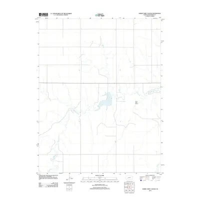
2012 Map of Horse Thief Canyon
USGS Topo · Published 2012About this map
Horse Thief Canyon and its surrounding high plains landscape define this section of central Kansas. The terrain is deeply influenced by the winding path of Buckner Cr, which meanders across the quadrangle, drawing in smaller tributaries like Spring Cr. This environment reflects the late-century water management and infrastructure of the region, where the hydrology of the creek beds dictates the layout of the local transport grid. Modern connectivity is established by routes such as 110 Rd and Highway 156, which cut straight through the natural topography. The map illustrates how human development in this part of Hodgeman County remains closely tied to the available water sources and the natural breaks in the prairie landscape.
Find a feature on this map
5 named features on this map. Tap any name to fly to it.
Don’t see what you’re looking for? This feature index may not catch every label — zoom into the map to look around manually.
Map Details
Editions of this 2012 Horse Thief Canyon Map
This is the sole edition of this map. No revisions or reprints were ever made.
Other maps of this area

1892 · Ness
USGS Topo · 1:125,000

1892 · Dodge
USGS Topo · 1:125,000

1892 · Spearville
USGS Topo · 1:125,000

1894 · Spearville
USGS Topo · 1:125,000

1894 · Ness
USGS Topo · 1:125,000

1955 · Great Bend
USGS Topo · 1:250,000

1955 · Pratt
USGS Topo · 1:250,000

1955 · Dodge City
USGS Topo · 1:250,000

1955 · Scott City
USGS Topo · 1:250,000

1957 · Great Bend
USGS Topo · 1:250,000