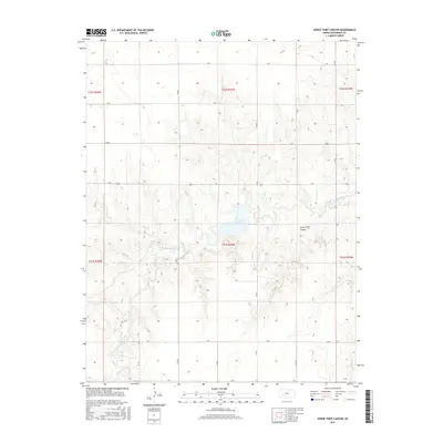
2015 Map of Horse Thief Canyon
USGS Topo · Published 2015About this map
Horse Thief Canyon dominates this portion of Hodgeman County, where the high plains are carved by the drainage of Buckner Creek. This 2015 land survey illustrates a rural landscape structured by the Public Land Survey System, with a rigid grid of section-line roads such as L RD and H RD crossing the open terrain. The topography is defined by the winding course of Buckner Cr and its smaller tributaries like Spring Cr, which break the geometric regularity of the agricultural allotments. The map reveals the sparse infrastructure of the region, anchored by State Highway 156 and a network of lettered county roads that provide access to the expansive ranching and farming tracts. The relationship between the natural watercourses and the human-imposed grid highlights the enduring spatial patterns of Western Kansas land management.
Find a feature on this map
18 named features on this map. Tap any name to fly to it.
Don’t see what you’re looking for? This feature index may not catch every label — zoom into the map to look around manually.
Map Details
Editions of this 2015 Horse Thief Canyon Map
This is the sole edition of this map. No revisions or reprints were ever made.
Other maps of this area

1892 · Ness
USGS Topo · 1:125,000

1892 · Dodge
USGS Topo · 1:125,000

1892 · Spearville
USGS Topo · 1:125,000

1894 · Spearville
USGS Topo · 1:125,000

1894 · Ness
USGS Topo · 1:125,000

1955 · Great Bend
USGS Topo · 1:250,000

1955 · Pratt
USGS Topo · 1:250,000

1955 · Dodge City
USGS Topo · 1:250,000

1955 · Scott City
USGS Topo · 1:250,000

1957 · Great Bend
USGS Topo · 1:250,000