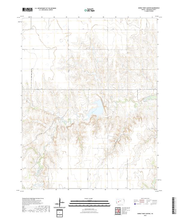
2022 Map of Horse Thief Canyon
USGS Topo · Published 2022About this map
Horse Thief Canyon and its complex drainage system define this landscape in western Kansas. The terrain is deeply carved by Buckner Creek, which meanders across the central and southern portions of the sheet, supported by smaller tributaries like Spring Cr to the southeast. The topographic character reveals a transition from open prairie to the dramatic breaks and dissected coulees of the canyon lands, where the elevation changes highlight the erosion patterns of the High Plains. Systematic land divisions are visible through a network of section-line roads, including G Rd, H Rd, and L Rd, which provide access to the agricultural parcels surrounding the waterway. The map captures the balance between the natural water-driven geography of Buckner Cr and the grid-based human settlement patterns typical of Hodgeman County.
Find a feature on this map
18 named features on this map. Tap any name to fly to it.
Don’t see what you’re looking for? This feature index may not catch every label — zoom into the map to look around manually.
Map Details
Editions of this 2022 Horse Thief Canyon Map
This is the sole edition of this map. No revisions or reprints were ever made.
Other maps of this area

1892 · Ness
USGS Topo · 1:125,000

1892 · Dodge
USGS Topo · 1:125,000

1892 · Spearville
USGS Topo · 1:125,000

1894 · Spearville
USGS Topo · 1:125,000

1894 · Ness
USGS Topo · 1:125,000

1955 · Great Bend
USGS Topo · 1:250,000

1955 · Pratt
USGS Topo · 1:250,000

1955 · Dodge City
USGS Topo · 1:250,000

1955 · Scott City
USGS Topo · 1:250,000

1957 · Great Bend
USGS Topo · 1:250,000