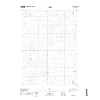
2017 Map of Horse Tooth
USGS Topo · Published 2017About this map
Saint Paul's Lutheran Cem stands as a focal point for genealogy and local history on this high plains landscape at the border of Pennington and Haakon counties. The terrain is defined by the drainage divide between the Deep Creek system flowing north and the headwaters of the North Fork Bad River and Poeno Creek trending south. Water management for agriculture and livestock is evident through features like the Kirk Cordes Number 10 Reservoir and the Willuweit Dam Number 10 Reservoir. The section-line road network, including Pedro Road and Quinn-Pedro Road, provides the primary structure for this ranching-oriented region, while the prominent landmark of Horse Tooth rises in the center of the survey area.
Find a feature on this map
24 named features on this map. Tap any name to fly to it.
Don’t see what you’re looking for? This feature index may not catch every label — zoom into the map to look around manually.
Map Details
Editions of this 2017 Horse Tooth Map
This is the sole edition of this map. No revisions or reprints were ever made.
Other maps of this area

1953 · Rapid City
USGS Topo · 1:250,000

1954 · Pierre
USGS Topo · 1:250,000

1955 · Creighton
USGS Topo · 1:24,000

1955 · Pedro SE
USGS Topo · 1:24,000

1957 · Rapid City
USGS Topo · 1:250,000

1958 · Pierre
USGS Topo · 1:250,000

1983 · Post Ranch
USGS Topo · 1:24,000

1983 · Philip
USGS Topo · 1:100,000
1983 · Grindstone
USGS Topo · 1:24,000
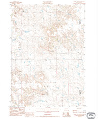
1983 · Horse Tooth
USGS Topo · 1:24,000