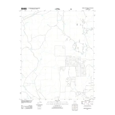
2012 Map of Horse Trap Mesa
USGS Topo · Published 2012About this map
Horse Trap Mesa rises above a landscape defined by an extensive network of stock tanks and seasonal drainages in this 2012 depiction of Yavapai County. The topography is shaped by the winding courses of Eightmile Cr and Partridge Cr, which draw water through a series of named catchments such as the Santa Fe Tank, Pitts Homestead Tank, and Jane Tank. This reliance on dispersed water sources reflects the region's ranching heritage and the practicalities of land management in the high desert.
Find a feature on this map
96 named features on this map. Tap any name to fly to it.
Don’t see what you’re looking for? This feature index may not catch every label — zoom into the map to look around manually.
Map Details
Editions of this 2012 Horse Trap Mesa Map
This is the sole edition of this map. No revisions or reprints were ever made.
Other maps of this area

1886 · Chino
USGS Topo · 1:250,000

1891 · Chino
USGS Topo · 1:250,000

1922 · Williams
USGS Topo · 1:125,000

1947 · Ash Fork
USGS Topo · 1:62,500

1947 · Picacho Butte
USGS Topo · 1:62,500

1948 · Ash Fork
USGS Topo · 1:63,360

1948 · Williams
USGS Topo · 1:250,000

1948 · Picacho Butte
USGS Topo · 1:63,360

1949 · Ash Fork
USGS Topo · 1:62,500

1950 · Picacho Butte
USGS Topo · 1:62,500