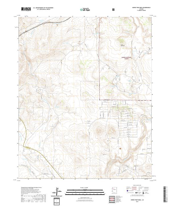
2021 Map of Horse Trap Mesa
USGS Topo · Published 2021About this map
Horse Trap Mesa rises as the central landform of this landscape, situated near the boundary where Coconino Co and Yavapai Co meet. The region is defined by a sparse high-desert drainage system, including Eightmile Cr, Partridge Cr, and Pineveta Wash. Human activity is primarily oriented around water management and forestry, with a dense network of catchment features such as Pitts Homestead Tank, Feed Trough Tank, and Santa Fe Tank supporting livestock or wildlife across the arid terrain. While much of the area falls within the Kaibab National Forest, the map also documents localized residential development in the southeast. A grid of named residential streets like Grand Blvd and Catalina Blvd contrasts with the surrounding open ranchland and forest access routes, including Forest 1 Rd and Old "1" Rd..
Find a feature on this map
81 named features on this map. Tap any name to fly to it.
Don’t see what you’re looking for? This feature index may not catch every label — zoom into the map to look around manually.
Map Details
Editions of this 2021 Horse Trap Mesa Map
This is the sole edition of this map. No revisions or reprints were ever made.
Other maps of this area

1886 · Chino
USGS Topo · 1:250,000

1891 · Chino
USGS Topo · 1:250,000

1922 · Williams
USGS Topo · 1:125,000

1947 · Ash Fork
USGS Topo · 1:62,500

1947 · Picacho Butte
USGS Topo · 1:62,500

1948 · Ash Fork
USGS Topo · 1:63,360

1948 · Williams
USGS Topo · 1:250,000

1948 · Picacho Butte
USGS Topo · 1:63,360

1949 · Ash Fork
USGS Topo · 1:62,500

1950 · Picacho Butte
USGS Topo · 1:62,500