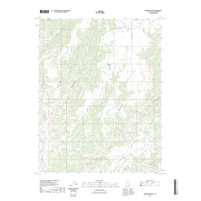
2023 Map of Horsehead Point
USGS Topo · Published 2023About this map
Horsehead Point stands as a prominent topographical landmark in this high-desert region of San Juan County, overseeing a complex network of drainage systems and high mesas. The landscape is defined by the deep incision of Montezuma Canyon and its associated waterway, Montezuma Creek, which snakes through the western portion of the map. To the south, the flat-topped elevation of Table Top and the sheltered expanse of Cedar Park suggest the varied plateaus that characterize this corner of Utah.
Find a feature on this map
20 named features on this map. Tap any name to fly to it.
Don’t see what you’re looking for? This feature index may not catch every label — zoom into the map to look around manually.
Map Details
Editions of this 2023 Horsehead Point Map
This is the sole edition of this map. No revisions or reprints were ever made.
Other maps of this area

1886 · Abajo
USGS Topo · 1:250,000

1892 · Abajo
USGS Topo · 1:250,000

1893 · Abajo
USGS Topo · 1:250,000

1955 · Verdure 4 NW
USGS Topo · 1:24,000

1955 · Verdure 2 SE
USGS Topo · 1:24,000

1955 · Verdure 3 SE
USGS Topo · 1:24,000

1955 · Verdure 1 SW
USGS Topo · 1:24,000

1955 · Verdure 4 SW
USGS Topo · 1:24,000

1955 · Verdure 3 NE
USGS Topo · 1:24,000

1956 · Cortez
USGS Topo · 1:250,000