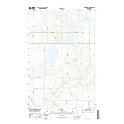
2014 Map of Horseshoe Lake
USGS Topo · Published 2014About this map
Horseshoe Lake sits at the center of this prairie landscape, where the dividing line between Benson Co and Eddy Co cuts directly through the water. The terrain is defined by a dense network of glacial potholes and small depressions typical of the region, interspersed with a rigid grid of section-line roads like 80th Ave NE and 31st St NE. In the southern portion of the map, the Sheyenne River meanders through a distinct valley, offering a sharp contrast to the upland plains. This river corridor has historically served as a critical waterway and drainage system for central North Dakota, and its winding course here shows the natural drainage patterns that bypass the many isolated basins to the north.
Find a feature on this map
17 named features on this map. Tap any name to fly to it.
Don’t see what you’re looking for? This feature index may not catch every label — zoom into the map to look around manually.
Map Details
Editions of this 2014 Horseshoe Lake Map
This is the sole edition of this map. No revisions or reprints were ever made.
Other maps of this area

1928 · Tokio
USGS Topo · 1:62,500

1930 · Hamar
USGS Topo · 1:62,500

1931 · Tokio
USGS Topo · 1:62,500

1944 · Brantford
USGS Topo · 1:62,500

1946 · Brantford
USGS Topo · 1:62,500

1950 · Brantford NW
USGS Topo · 1:24,000

1950 · Brantford NE
USGS Topo · 1:24,000
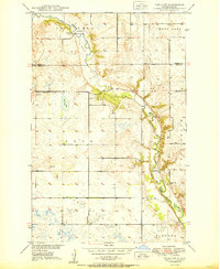
1950 · Tokio SW
USGS Topo · 1:24,000

1950 · Tokio
USGS Topo · 1:24,000

1951 · Free Peoples Lake
USGS Topo · 1:24,000