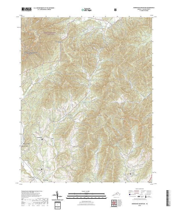
2022 Map of Horseshoe Mountain
USGS Topo · Published 2022About this map
The eastern slopes of the Blue Ridge Mountains define this Nelson County landscape, where the Appalachian National Scenic Trail winds through the George Washington National Forest. Notable for its dramatic vertical relief, the terrain is shaped by landmarks like Horseshoe Mtn and Cat Rock Mtn, punctuated by deep hollows such as Ginseng Hollow and Shaeffer Hollow. Settlements like Massies Mill, Jonesboro, and Roseland cluster along the valley floors, following the path of The River and its many tributaries. For local historians and genealogists, the map identifies critical family and community markers, including the Bethlehem United Methodist Church Cem and the remote Stevens Cove Cem. These small clusters of habitation and worship highlight the persistence of rural mountain communities amid the protected forest lands of the central Virginia highlands.
Find a feature on this map
93 named features on this map. Tap any name to fly to it.
Don’t see what you’re looking for? This feature index may not catch every label — zoom into the map to look around manually.
Map Details
Editions of this 2022 Horseshoe Mountain Map
This is the sole edition of this map. No revisions or reprints were ever made.
Other maps of this area

1892 · Buckingham
USGS Topo · 1:125,000

1894 · Lexington
USGS Topo · 1:125,000

1935 · Amherst
USGS Topo · 1:48,000

1936 · Vesuvius
USGS Topo · 1:48,000

1939 · Amherst
USGS Topo · 1:62,500

1941 · Vesuvius
USGS Topo · 1:62,500

1943 · Lovingston
USGS Topo · 1:62,500

1946 · Lovingston
USGS Topo · 1:62,500

1947 · Roanoke
USGS Topo · 1:250,000

1950 · Amherst
USGS Topo · 1:62,500