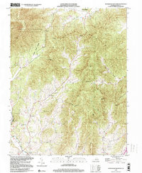
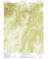
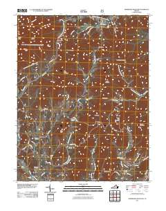
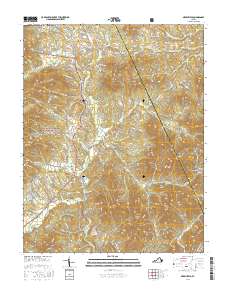
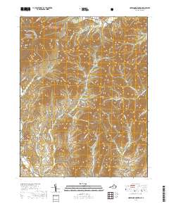
1999 Map of Horseshoe Mountain
USGS Topo · Published 2000About this map
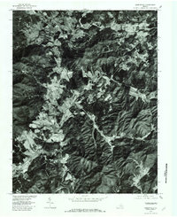
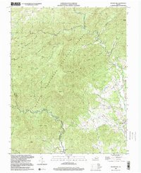
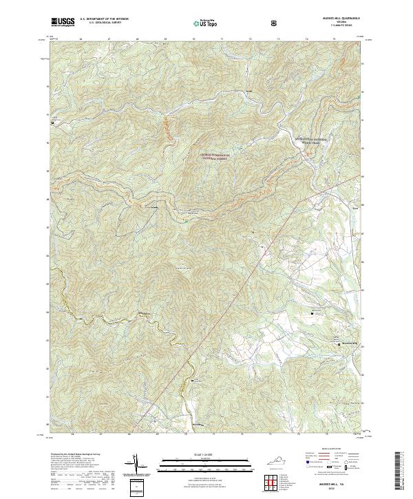
The George Washington National Forest and Lesesne State Forest dominate this landscape, which is marked by the steep ridges of Horseshoe Mountain and Three Ridges. Settlement is concentrated in the southern valleys along Hat Creek and the Pye River, where local life is anchored by several rural congregations and landmarks. Communities like Massies Mill, which includes the Massies Mill Sch, and Roseland indicate a long history of small-scale agriculture and timber activity in the hollows.
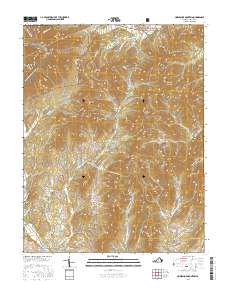
Find a feature on this map
46 named features on this map. Tap any name to fly to it.
Don’t see what you’re looking for? This feature index may not catch every label — zoom into the map to look around manually.
Map Details
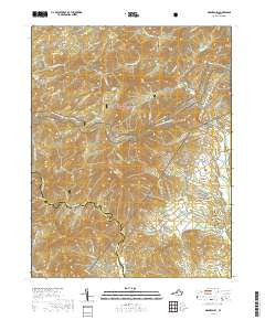
Editions of this 1999 Horseshoe Mountain Map
This is the sole edition of this map. No revisions or reprints were ever made.
Historical Maps of Jonesboro Through Time
22 maps found
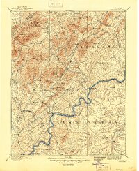
1892 Buckingham
Nelson County, VA
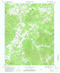
1965 Massies Mill
Nelson County, VA
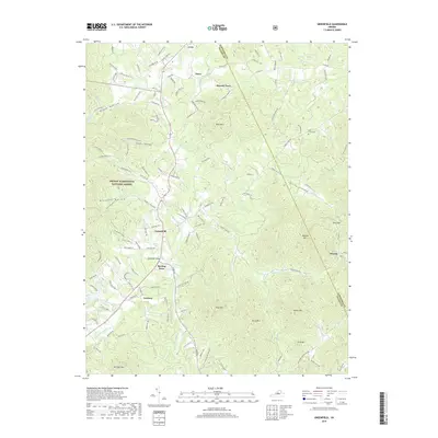
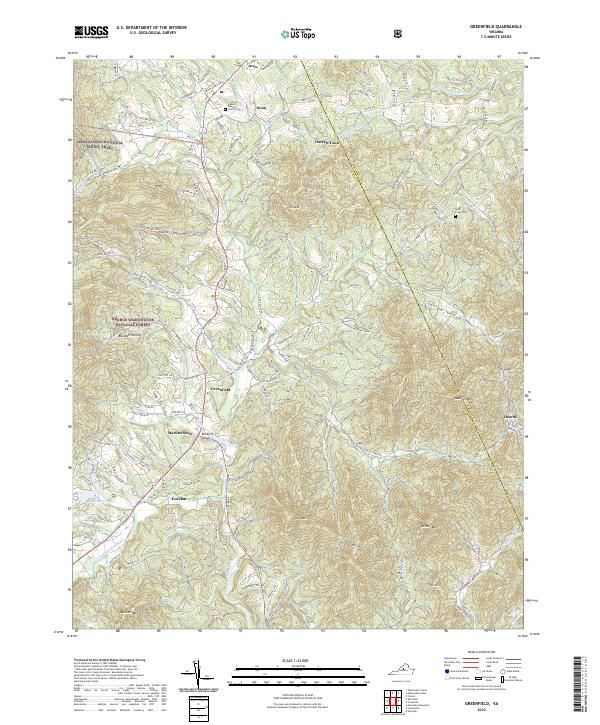
1967 Greenfield
Nelson County, VA
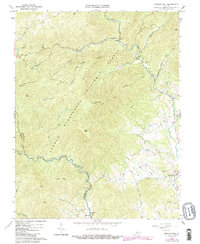
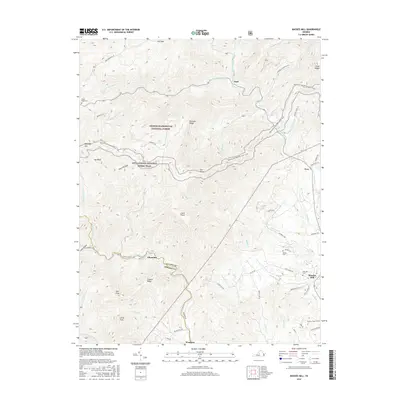
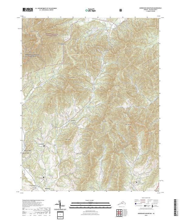
1967 Horseshoe Mountain
Nelson County, VA
1979 Greenfield
Nelson County, VA
1999 Horseshoe Mountain
Nelson County, VA
1999 Massies Mill
Nelson County, VA
2011 Greenfield
Nelson County, VA
2011 Horseshoe Mountain
Nelson County, VA
2011 Massies Mill
Nelson County, VA
2013 Greenfield
Nelson County, VA
2013 Horseshoe Mountain
Nelson County, VA

2013 Massies Mill
Nelson County, VA
2016 Greenfield
Nelson County, VA
2016 Horseshoe Mountain
Nelson County, VA
2016 Massies Mill
Nelson County, VA
2019 Greenfield
Nelson County, VA
2019 Horseshoe Mountain
Nelson County, VA
2019 Massies Mill
Nelson County, VA
2022 Greenfield
Nelson County, VA
2022 Horseshoe Mountain
Nelson County, VA
2022 Massies Mill
Nelson County, VA