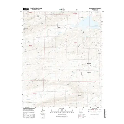
2014 Map of Horseshoe Mountain
USGS Topo · Published 2014About this map
Ouachita National Forest covers the majority of this landscape, where the ridges of Walker Mtn, Brushy Mtn, and the namesake Horseshoe Mountain create a complex system of hollows and creek beds. The drainage network is particularly dense here, with Black Fork and Denton Cr winding through the timbered terrain. Small settlements like Beauchamp and Brawley serve as local anchors, connected by a web of rural routes such as Jones Creek Co and Angelfalls Rd.
Find a feature on this map
51 named features on this map. Tap any name to fly to it.
Don’t see what you’re looking for? This feature index may not catch every label — zoom into the map to look around manually.
Map Details
Editions of this 2014 Horseshoe Mountain Map
This is the sole edition of this map. No revisions or reprints were ever made.
Other maps of this area

1879 · Poteau Mountain
USGS Topo · 1:62,500

1887 · Poteau Mountain #1
USGS Topo · 1:62,500

1887 · Poteau Mountain #2
USGS Topo · 1:62,500

1890 · Poteau Mountain
USGS Topo · 1:125,000

1899 · Poteau Mountain
USGS Topo · 1:125,000

1939 · Waldron
USGS Topo · 1:62,500

1940 · Waldron
USGS Topo · 1:62,500

1941 · Waldron
USGS Topo · 1:62,500

1949 · Waldron
USGS Topo · 1:62,500

1950 · Mcalester
USGS Topo · 1:250,000