
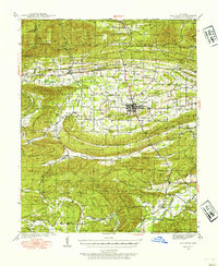
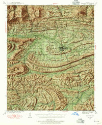
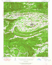
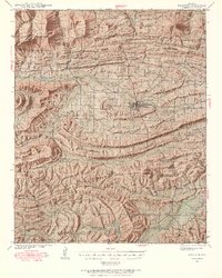
1939 Map of Waldron
USGS Topo · Published 1954About this map
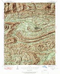
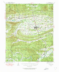
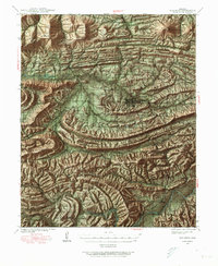
The Poteau River valley serves as the central corridor for this 1930s landscape, where the Kansas City Southern railroad links the hub of Waldron to outlying settlements like Hon and Anderson. This period reflects a transition from isolated mountain homesteads to a more integrated rural economy, evident in the network of country schools such as Lone Elm Sch and Center Point Sch. The terrain is defined by the massive ridges of Poteau Mountain and Brushy Mountain, which hem in the cultivated valleys and shape the course of the Dutch Creek.
Find a feature on this map
75 named features on this map. Tap any name to fly to it.
Don’t see what you’re looking for? This feature index may not catch every label — zoom into the map to look around manually.
Map Details
Editions of this 1939 Waldron Map
8 editions found
Other maps of this area

1879 · Poteau Mountain
USGS Topo · 1:62,500

1887 · Poteau Mountain #1
USGS Topo · 1:62,500

1887 · Mount Ida #2
USGS Topo · 1:62,500

1887 · Magazine Mountain #3
USGS Topo · 1:62,500

1887 · Magazine Mountain
USGS Topo · 1:62,500

1887 · Poteau Mountain #2
USGS Topo · 1:62,500

1887 · Greenwood
USGS Topo · 1:62,500

1890 · Magazine Mountain
USGS Topo · 1:125,000

1890 · Mount Ida
USGS Topo · 1:125,000

1890 · Fort Smith
USGS Topo · 1:125,000