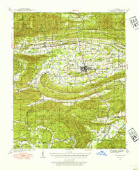
1939 Map of Waldron
USGS Topo · Published 1954About this map
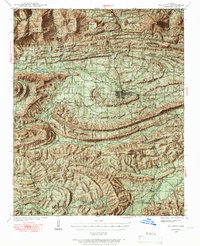
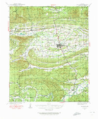
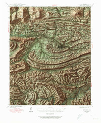
Waldron sits at the heart of this late-1930s landscape, serving as a hub for the Kansas City Southern railroad and a network of rural communities. The terrain is defined by the heavy ridges of Poteau Mountain and Brushy Mountain, where the Ouachita National Forest blankets the high ground. Small rural schools and cemeteries are scattered throughout the valleys, providing a window into the settlement patterns of the era. Locations like the County Farm near Waldron and isolated outposts like Needmore and Blansett illustrate the decentralized nature of Scott County life. The Poteau River and Fourche La Fave River drain these highlands, their courses marked by local landmarks such as Square Rock Ch and the Hon Cem. The map documents a period when local life was closely tied to the timbered ridges and narrow creek bottoms of the Ouachita range.
Find a feature on this map
82 named features on this map. Tap any name to fly to it.
Don’t see what you’re looking for? This feature index may not catch every label — zoom into the map to look around manually.
Map Details
Editions of this 1939 Waldron Map
8 editions found

Other maps of this area

1879 · Poteau Mountain
USGS Topo · 1:62,500

1887 · Poteau Mountain #1
USGS Topo · 1:62,500

1887 · Mount Ida #2
USGS Topo · 1:62,500

1887 · Magazine Mountain #3
USGS Topo · 1:62,500

1887 · Magazine Mountain
USGS Topo · 1:62,500

1887 · Poteau Mountain #2
USGS Topo · 1:62,500

1887 · Greenwood
USGS Topo · 1:62,500

1890 · Magazine Mountain
USGS Topo · 1:125,000

1890 · Mount Ida
USGS Topo · 1:125,000

1890 · Fort Smith
USGS Topo · 1:125,000