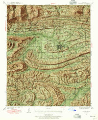
1939 Map of Waldron
USGS Topo · Published 1955About this map
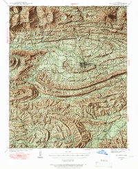
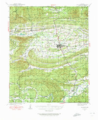
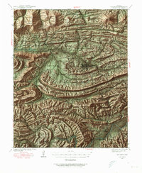
The town of Waldron serves as the hub of this late-1930s survey, where the Kansas City Southern railroad bisects the valley. This landscape is defined by the tight proximity of parallel ridges, including Poteau Mountain and Brushy Mountain, which channel the Poteau River and the Fourche La Fave River. Small rural schoolhouses like Evening Shade Sch and Pleasant Hill Sch are scattered throughout the lowlands, marking the centers of dispersed agrarian communities.
Find a feature on this map
87 named features on this map. Tap any name to fly to it.
Don’t see what you’re looking for? This feature index may not catch every label — zoom into the map to look around manually.
Map Details
Editions of this 1939 Waldron Map
8 editions found

Other maps of this area

1879 · Poteau Mountain
USGS Topo · 1:62,500

1887 · Poteau Mountain #1
USGS Topo · 1:62,500

1887 · Mount Ida #2
USGS Topo · 1:62,500

1887 · Magazine Mountain #3
USGS Topo · 1:62,500

1887 · Magazine Mountain
USGS Topo · 1:62,500

1887 · Poteau Mountain #2
USGS Topo · 1:62,500

1887 · Greenwood
USGS Topo · 1:62,500

1890 · Magazine Mountain
USGS Topo · 1:125,000

1890 · Mount Ida
USGS Topo · 1:125,000

1890 · Fort Smith
USGS Topo · 1:125,000