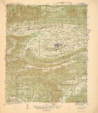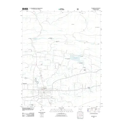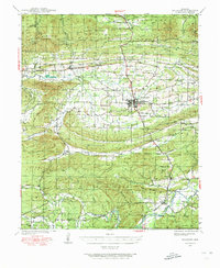
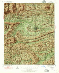
1939 Map of Waldron
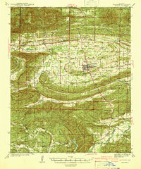
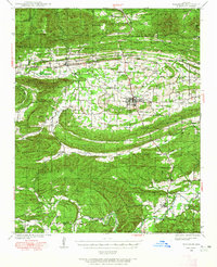
USGS Topo · Published 1973About this map
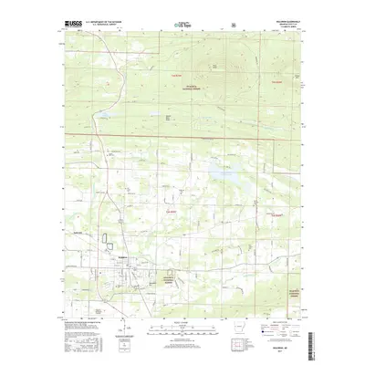
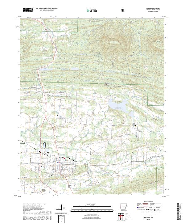
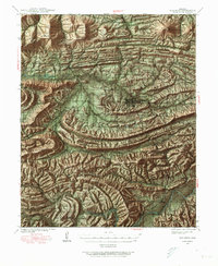
Waldron serves as the central hub of this Scott County landscape, where the Poteau River and the Kansas City Southern railroad intersect to define the local economy. The surrounding terrain is a complex of significant ridges including Poteau Mountain and Brushy Mountain, much of which is protected within the Ouachita National Forest. This late 1930s survey captures a dense network of rural community life, documented through numerous family burial grounds like Anthony Cem and Sehorn Cem, alongside small district schools such as Evening Shade Sch and Bush Sch. The settlement pattern follows the valley floors of Piney Creek and Dutch Creek, showing the transition from forest to agricultural clearings. Distinctive landmarks like Square Rock Ch and the high elevation at High Point provide clear reference points for those studying the pre-war topography of western Arkansas.
Find a feature on this map
76 named features on this map. Tap any name to fly to it.
Don’t see what you’re looking for? This feature index may not catch every label — zoom into the map to look around manually.
Map Details
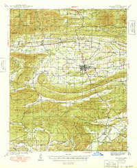
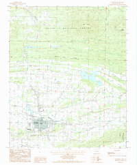
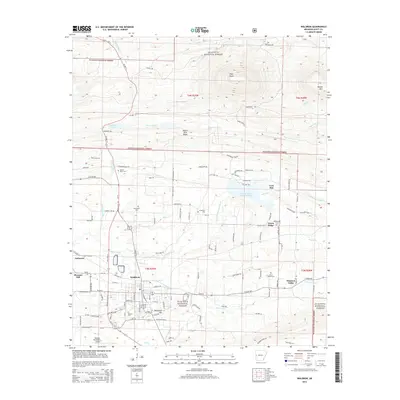
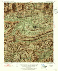
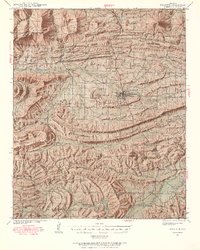
Editions of this 1939 Waldron Map
8 editions found
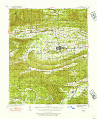
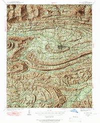
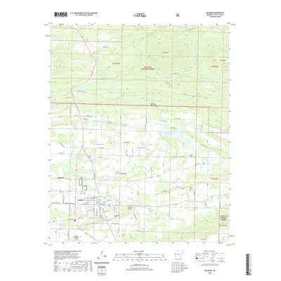
Historical Maps of Waldron Through Time
10 maps found