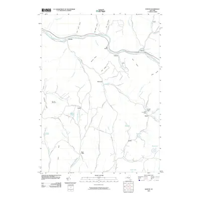
2010 Map of Horton
USGS Topo · Published 2010About this map
Beaver Kill flows through the northern reaches of this landscape, anchoring a series of small settlements including Peakville, Elk Brook, Chiloway, and Horton. The terrain is defined by deep hollows like Long Beach Hollow and Bearpen Hollow, which separate high ridges and narrow valley floors. This 2010 survey illustrates a community where transportation is closely tied to the water, evidenced by the Campbell Covered Bridge and Lower Shavertown Bridge near Methol. The road network is heavily shaped by the local family history and agriculture of Delaware County, with names like John Milk Rd, Arlyn Milk Rd, and Biedekapp Rd marking the paths between upland farms and valley hamlets. To the south, numerous bodies of water such as Deer Lake, Glen Lake, and Crystal Lake suggest a transition toward a recreational and residential character near Acidalia and Rock Valley.
Find a feature on this map
91 named features on this map. Tap any name to fly to it.
Don’t see what you’re looking for? This feature index may not catch every label — zoom into the map to look around manually.
Map Details
Editions of this 2010 Horton Map
This is the sole edition of this map. No revisions or reprints were ever made.
Other maps of this area

1920 · Long Eddy
USGS Topo · 1:62,500

1921 · Long Eddy
USGS Topo · 1:48,000

1921 · Livingston Manor
USGS Topo · 1:62,500

1922 · Andes
USGS Topo · 1:62,500

1923 · Long Eddy
USGS Topo · 1:62,500

1923 · Walton
USGS Topo · 1:48,000

1923 · Livingston Manor
USGS Topo · 1:62,500

1924 · Andes
USGS Topo · 1:62,500

1925 · Walton
USGS Topo · 1:62,500

1943 · Honesdale
USGS Topo · 1:125,000