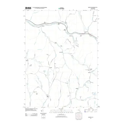
2013 Map of Horton
USGS Topo · Published 2013About this map
The Beaver Kill river valley anchors this portion of the Catskills, where the historic O And W Rd corridor and Co Hwy-17 follow the water's path through the mountains. Settlements like Horton, Peakville, and Elk Brook are tied to this central drainage, while smaller hamlets such as Rock Valley and Acidalia are situated further south along the network of mountain brooks. The map records several family and community burial sites, including the Rickard Cem and Gould Cem, which offer significant value for genealogical research in this rural New York landscape.
Find a feature on this map
108 named features on this map. Tap any name to fly to it.
Don’t see what you’re looking for? This feature index may not catch every label — zoom into the map to look around manually.
Map Details
Editions of this 2013 Horton Map
This is the sole edition of this map. No revisions or reprints were ever made.
Other maps of this area

1920 · Long Eddy
USGS Topo · 1:62,500

1921 · Long Eddy
USGS Topo · 1:48,000

1921 · Livingston Manor
USGS Topo · 1:62,500

1922 · Andes
USGS Topo · 1:62,500

1923 · Long Eddy
USGS Topo · 1:62,500

1923 · Walton
USGS Topo · 1:48,000

1923 · Livingston Manor
USGS Topo · 1:62,500

1924 · Andes
USGS Topo · 1:62,500

1925 · Walton
USGS Topo · 1:62,500

1943 · Honesdale
USGS Topo · 1:125,000