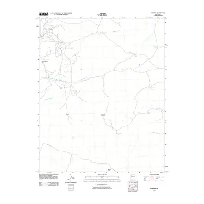
2010 Map of Hospah
USGS Topo · Published 2010About this map
Hospah is the focal point of this Northwest New Mexico landscape, characterized by the energy infrastructure of the Hospah Oil Field. The area is defined by a network of drainage systems, including the Sandoval Arroyo and the North Fork Sand Springs Arroyo, which carve through a high-desert terrain marked by distinctive landmarks such as Gumbo Point and Lone Pine Tree Hill. The map reveals a reliance on groundwater and seasonal catchments, indicated by several named windmills and tanks scattered across the territory.
Find a feature on this map
24 named features on this map. Tap any name to fly to it.
Don’t see what you’re looking for? This feature index may not catch every label — zoom into the map to look around manually.
Map Details
Editions of this 2010 Hospah Map
This is the sole edition of this map. No revisions or reprints were ever made.
Other maps of this area

1883 · Mt. Taylor
USGS Topo · 1:250,000

1886 · Mt. Taylor
USGS Topo · 1:250,000

1892 · Mt. Taylor
USGS Topo · 1:250,000

1899 · Mt. Taylor
USGS Topo · 1:250,000

1958 · Albuquerque
USGS Topo · 1:250,000

1961 · El Dado
USGS Topo · 1:24,000

1961 · Piedra De La Aguila
USGS Topo · 1:24,000

1961 · Whitehorse Rincon
USGS Topo · 1:24,000

1961 · Whitehorse
USGS Topo · 1:24,000

1961 · Hospah
USGS Topo · 1:24,000