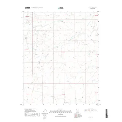
2020 Map of Hospah
USGS Topo · Published 2020About this map
Hospah serves as the primary focal point of this McKinley County landscape, where the high desert terrain is defined by an intricate network of drainage channels and cattle-watering features. The land is marked by significant topographical landmarks such as Lone Pine Tree Hill and Gumbo Point, which overlook the winding Sand Springs Arroyo and its various tributaries. For local historians, the map documents a system of ranching infrastructure, including Escondido Tank, Blanton Tank, and Floyd Lee Tank, essential for managing livestock in this arid environment. The road network, including the Sand Springs Loop Rd and Co Rd 19, connects isolated points like Pretty Rock and Bobcat Pass, illustrating how geography dictates the travel patterns through these high plains and arroyos.
Find a feature on this map
29 named features on this map. Tap any name to fly to it.
Don’t see what you’re looking for? This feature index may not catch every label — zoom into the map to look around manually.
Map Details
Editions of this 2020 Hospah Map
This is the sole edition of this map. No revisions or reprints were ever made.
Other maps of this area

1883 · Mt. Taylor
USGS Topo · 1:250,000

1886 · Mt. Taylor
USGS Topo · 1:250,000

1892 · Mt. Taylor
USGS Topo · 1:250,000

1899 · Mt. Taylor
USGS Topo · 1:250,000

1958 · Albuquerque
USGS Topo · 1:250,000

1961 · El Dado
USGS Topo · 1:24,000

1961 · Piedra De La Aguila
USGS Topo · 1:24,000

1961 · Whitehorse Rincon
USGS Topo · 1:24,000

1961 · Whitehorse
USGS Topo · 1:24,000

1961 · Hospah
USGS Topo · 1:24,000