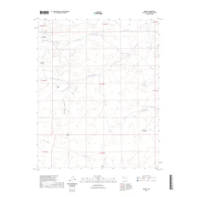
2023 Map of Hospah
USGS Topo · Published 2023About this map
Hospah and Pretty Rock anchor this high-desert landscape in McKinley County, where the drainage patterns of Sandoval Arroyo and the Sand Springs Arroyo define the local geography. The map reveals an intricate network of livestock-oriented water features, including Floyd Lee Tank, Indian Tank, and Blanton Tank, which are essential to this arid region's ranching operations. The terrain is marked by distinctive landmarks such as Lone Pine Tree Hill and Gumbo Point, while the southern reaches are influenced by the Arroyo Alfredo Padilla. This survey documents a sparsely settled territory where land use is dictated by intermittent water sources and the natural contours of the high plains, providing a modern look at the remote cattle-country infrastructure that has persisted through the decades.
Find a feature on this map
30 named features on this map. Tap any name to fly to it.
Don’t see what you’re looking for? This feature index may not catch every label — zoom into the map to look around manually.
Map Details
Editions of this 2023 Hospah Map
This is the sole edition of this map. No revisions or reprints were ever made.
Other maps of this area

1883 · Mt. Taylor
USGS Topo · 1:250,000

1886 · Mt. Taylor
USGS Topo · 1:250,000

1892 · Mt. Taylor
USGS Topo · 1:250,000

1899 · Mt. Taylor
USGS Topo · 1:250,000

1958 · Albuquerque
USGS Topo · 1:250,000

1961 · El Dado
USGS Topo · 1:24,000

1961 · Piedra De La Aguila
USGS Topo · 1:24,000

1961 · Whitehorse Rincon
USGS Topo · 1:24,000

1961 · Whitehorse
USGS Topo · 1:24,000

1961 · Hospah
USGS Topo · 1:24,000