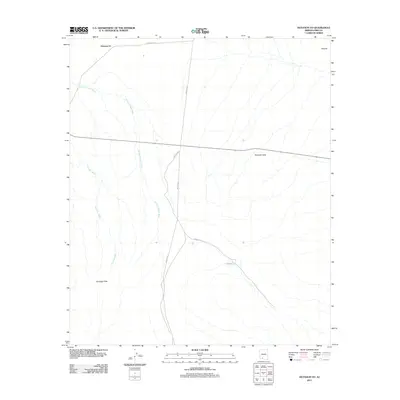
2011 Map of Hotason Vo
USGS Topo · Published 2011About this map
Hotason Vo stands at the northern edge of this desert expanse in Pima County, situated at the intersection of Indian Rte-7 and Indian Rte-34. This 2011 survey documents a landscape where traditional watercourses and modern tribal routes define the movement of people and resources. The ephemeral drainage of Sikort Chuapo Wash meanders through the central section of the map, while Gunsight Wash cuts across the southwest, reflecting the seasonal hydrology of the region.
Find a feature on this map
11 named features on this map. Tap any name to fly to it.
Don’t see what you’re looking for? This feature index may not catch every label — zoom into the map to look around manually.
Map Details
Editions of this 2011 Hotason Vo Map
This is the sole edition of this map. No revisions or reprints were ever made.
Other maps of this area

1953 · Ajo
USGS Topo · 1:250,000

1957 · Ajo
USGS Topo · 1:250,000

1958 · Ajo
USGS Topo · 1:250,000

1962 · Ajo
USGS Topo · 1:250,000

1963 · Ajo
USGS Topo · 1:250,000

1963 · Sikort Chuapo Mts
USGS Topo · 1:62,500

1963 · Mt. Ajo
USGS Topo · 1:62,500

1963 · Cimarron Peak
USGS Topo · 1:62,500

1963 · Pisinimo
USGS Topo · 1:62,500

1967 · Ajo
USGS Topo · 1:250,000