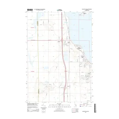
1983 Map of Houghton Lake
USGS Topo · Published 1984About this map
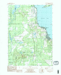
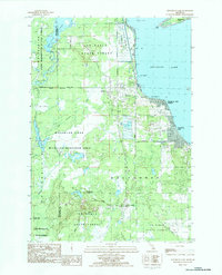
Houghton Lake defines the eastern edge of this Michigan landscape, where the town of Houghton Lake Heights sits alongside the water. The 1980s terrain is characterized by a massive network of wetlands and managed water levels, including the Dead Stream Flooding, Houghton Lake Flats Flooding, and Dead Horse Bridge Flooding. These marshy areas are bordered by the Pere Marquette State Forest and Au Sable State Forest, creating a unique environment for the Houghton Lake Wildlife Research Area. Small settlements like Nellsville and Loxley are connected by local routes such as Nellsville Road and Federal Ave. The map also captures infrastructure serving the lakeside community, from the Houghton Lake Landing Strip to the Township Cemetery, alongside industrial features like a Gravel Pit. Local residents utilized several Public Access Boat Ramps and a Campground to navigate the shores and North Bay.
Find a feature on this map
46 named features on this map. Tap any name to fly to it.
Don’t see what you’re looking for? This feature index may not catch every label — zoom into the map to look around manually.
Map Details
Editions of this 1983 Houghton Lake Map
2 editions found
Historical Maps of Houghton Lake Through Time
8 maps found
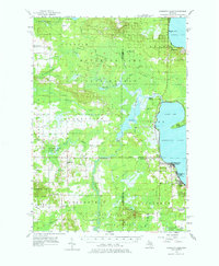
1956 Houghton Lake
Roscommon County, MI

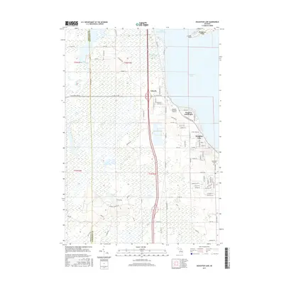
1983 Houghton Lake
Roscommon County, MI
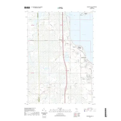
1983 Houghton Lake
Roscommon County, MI
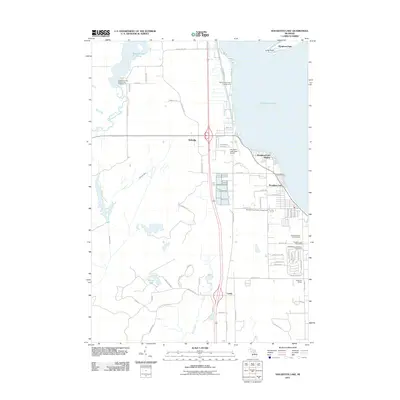
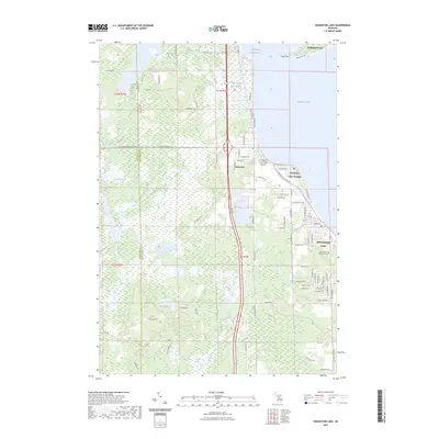
2011 Houghton Lake
Roscommon County, MI
2014 Houghton Lake
Roscommon County, MI
2017 Houghton Lake
Roscommon County, MI
2019 Houghton Lake
Roscommon County, MI
2023 Houghton Lake
Roscommon County, MI
Featured Locations
- Lake Township, MI
- Roscommon Township, MI
- Houghton Point, Lake Township
- Houghton Lake, Roscommon Township
- Nellsville, Roscommon Township