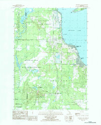
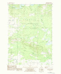
1983 Map of Houghton Lake
USGS Topo · Published 1984About this map
Houghton Lake defines the eastern edge of this 1980s landscape, where the transition from water to forest is marked by extensive marshes and engineered wetlands. The western half of the map is dominated by the Pere Marquette State Forest and the Au Sable State Forest, a vast wooded expanse drained by the Muskegon River and the meandering Dead Stream. Notable for its management of wildlife and water, the area includes the Houghton Lake Wildlife Research Area and significant flood zones like Dead Stream Flooding and Dead Horse Bridge Flooding.
Find a feature on this map
40 named features on this map. Tap any name to fly to it.
Don’t see what you’re looking for? This feature index may not catch every label — zoom into the map to look around manually.
Map Details
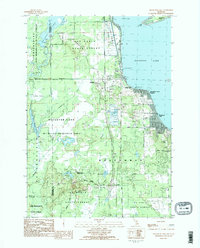
Editions of this 1983 Houghton Lake Map
2 editions found
Other maps of this area

1954 · Traverse City
USGS Topo · 1:250,000

1956 · Houghton Lake
USGS Topo · 1:62,500

1957 · Harrison
USGS Topo · 1:62,500

1958 · Traverse City
USGS Topo · 1:250,000

1963 · Prudenville
USGS Topo · 1:24,000
1963 · Lyon Manor
USGS Topo · 1:24,000

1969 · Meredith NW
USGS Topo · 1:24,000
1983 · Meads Landing
USGS Topo · 1:25,000

1983 · Moddersville
USGS Topo · 1:25,000
1983 · Addis Creek
USGS Topo · 1:24,000