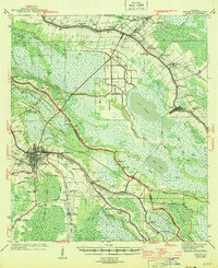
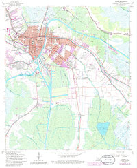
1944 Map of Houma
USGS Topo · Published 1944About this map
The low-lying wetlands of southern Louisiana are defined by an intricate network of waterways on this 1944 sheet, centered on Houma and its surroundings. The Intracoastal Waterway cuts a straight path across the landscape, intersecting traditional routes like Bayou Lafourche and Bayou Terrebonne. These bayous historically dictated the pattern of human settlement, with communities like Raceland, Lockport, and Bourg following the natural levees. The map highlights a rural infrastructure of local importance, from Aragon Plantation and several parish schools like Prairie Sch to numerous small houses of worship including St Peters Ch and Third Zion Ch. Transport during the wartime era relied on a mix of the Southern Pacific railroad and local ferries, while the Houma Airport suggests the growing modern connectivity of the region.
Find a feature on this map
64 named features on this map. Tap any name to fly to it.
Don’t see what you’re looking for? This feature index may not catch every label — zoom into the map to look around manually.
Map Details
Editions of this 1944 Houma Map
This is the sole edition of this map. No revisions or reprints were ever made.
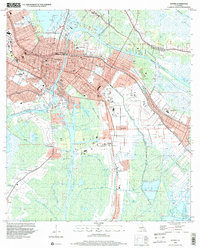
Historical Maps of Houma Through Time
12 maps found
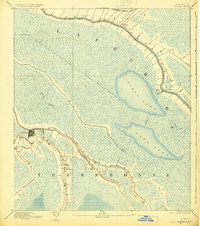
1892 Houma
Terrebonne Parish, LA
1939 Houma
Terrebonne Parish, LA
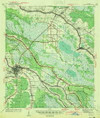
1941 Houma
Terrebonne Parish, LA
1944 Houma
Terrebonne Parish, LA

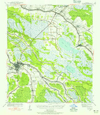
1963 Houma
Terrebonne Parish, LA
1963 Houma
Terrebonne Parish, LA
1998 Houma
Terrebonne Parish, LA
2012 Houma
Terrebonne Parish, LA
2015 Houma
Terrebonne Parish, LA
2018 Houma
Terrebonne Parish, LA
2020 Houma
Terrebonne Parish, LA
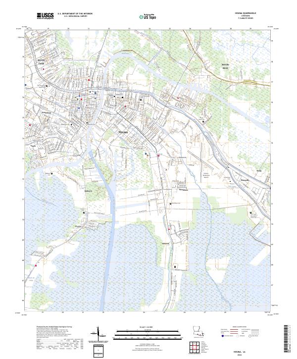
2024 Houma
Terrebonne Parish, LA