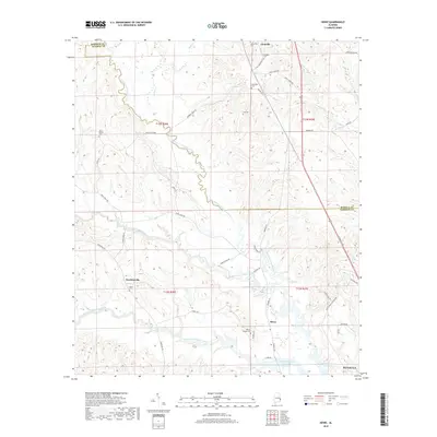
2018 Map of Howe
USGS Topo · Published 2018About this map
North Fork Cowikee Creek and its tributaries carve a complex drainage pattern across the Barbour and Russell County border. The rural landscape is anchored by the small settlements of Glenville, Hawkinsville, and Howe, where local history is preserved in several family and community burial grounds including Mount Gilead Cem, Jones Cem, and Tenneel Chapel Cem. In the southeastern corner, the waters of the Walter F George Reservoir reach into the creek mouths, marking the influence of the Chattahoochee River system on the local topography. This modern survey reflects the enduring rural character of the Alabama Black Belt, showing the transition from upland creek valleys like Little Barbour Cr to the reservoir's edge near Eufaula.
Find a feature on this map
52 named features on this map. Tap any name to fly to it.
Don’t see what you’re looking for? This feature index may not catch every label — zoom into the map to look around manually.
Map Details
Editions of this 2018 Howe Map
This is the sole edition of this map. No revisions or reprints were ever made.
Other maps of this area

1953 · Dothan
USGS Topo · 1:250,000

1954 · Dothan
USGS Topo · 1:250,000

1955 · Dothan
USGS Topo · 1:250,000

1955 · Phenix City
USGS Topo · 1:250,000

1957 · Phenix City
USGS Topo · 1:250,000
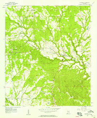
1957 · Pittsview
USGS Topo · 1:24,000
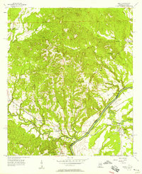
1957 · Omaha
USGS Topo · 1:24,000

1958 · Phenix City
USGS Topo · 1:250,000

1967 · Georgetown
USGS Topo · 1:24,000

1968 · Eufaula North
USGS Topo · 1:24,000