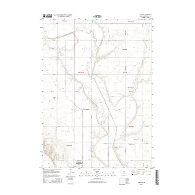
2015 Map of Hub City
USGS Topo · Published 2015About this map
Vermillion River meanders through this portion of Clay County, creating a distinctive landscape of floodplains and bluffs that has shaped local settlement for generations. The area is defined by a cluster of rural communities including Lodi, Dalesburg, Hub City, and Bloomingdale, each serving as a focal point for the surrounding agricultural grid. A significant geological and cultural landmark, Spirit Mound rises above the plains in the southern portion of the map, adjacent to the Spirit Mound Cem. The map transition into the Missouri National Recreation River corridor at its southern edge illustrates the proximity of these upland townships to the Missouri river valley. Local infrastructure like Lodi Airport and the well-defined township road system, including Pleasant Valley Rd and University Rd, connects these long-standing communities across the rolling terrain of Cabbage Flat and the drainage of Baptist Cr.
Find a feature on this map
42 named features on this map. Tap any name to fly to it.
Don’t see what you’re looking for? This feature index may not catch every label — zoom into the map to look around manually.
Map Details
Editions of this 2015 Hub City Map
This is the sole edition of this map. No revisions or reprints were ever made.
Other maps of this area

1897 · Canton
USGS Topo · 1:125,000

1898 · Parker
USGS Topo · 1:125,000

1898 · Elk Point
USGS Topo · 1:125,000

1900 · Canton
USGS Topo · 1:125,000

1901 · Elk Point
USGS Topo · 1:125,000

1907 · Elk Point
USGS Topo · 1:125,000

1955 · Sioux City
USGS Topo · 1:250,000

1955 · Sioux Falls
USGS Topo · 1:250,000

1958 · Sioux City
USGS Topo · 1:250,000

1958 · Sioux Falls
USGS Topo · 1:250,000