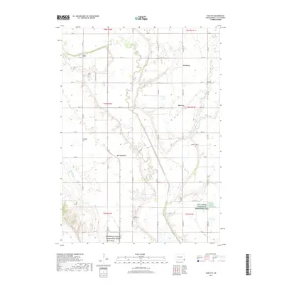
2017 Map of Hub City
USGS Topo · Published 2017About this map
The Vermillion River meanders across this Clay County landscape, defining the rural geography of Pleasant Valley Township. Small, established settlements such as Lodi, Dalesburg, and Hub City anchor the township, reflecting a traditional agricultural layout. To the south, the prominent landmark of Spirit Mound rises above the plains, providing a distinct geographic anchor near the Missouri National Recreation River boundary. The map preserves the locations of vital community centers, including Dalesburg Baptist Cem and Spirit Mound Cem, which serve as essential landmarks for genealogists and local historians. Conservation efforts are visible through the Clay County Waterfowl Production Area, while the Lodi Airport and the intersection of local roads like University Rd and 306th St highlight the modern infrastructure supporting these enduring prairie communities.
Find a feature on this map
43 named features on this map. Tap any name to fly to it.
Don’t see what you’re looking for? This feature index may not catch every label — zoom into the map to look around manually.
Map Details
Editions of this 2017 Hub City Map
This is the sole edition of this map. No revisions or reprints were ever made.
Other maps of this area

1897 · Canton
USGS Topo · 1:125,000

1898 · Parker
USGS Topo · 1:125,000

1898 · Elk Point
USGS Topo · 1:125,000

1900 · Canton
USGS Topo · 1:125,000

1901 · Elk Point
USGS Topo · 1:125,000

1907 · Elk Point
USGS Topo · 1:125,000

1955 · Sioux City
USGS Topo · 1:250,000

1955 · Sioux Falls
USGS Topo · 1:250,000

1958 · Sioux City
USGS Topo · 1:250,000

1958 · Sioux Falls
USGS Topo · 1:250,000