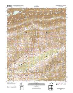
2013 Map of Hubbard Springs
USGS Topo · Published 2013About this map
Cumberland Mountain dominates the northern border of this Virginia landscape, where numerous gaps and hollows dictate the flow of travel and commerce. Local transport follows the terrain through Hubbard Springs Gap, Doubling Gap, and Harris Gap, connecting small settlements like Hubbard Springs and Hockett to the south. The Powell River meanders across the southern portion of the quadrangle, punctuated by historical crossings like Hall Ford and Towell Ford, as well as engineered structures such as Flanary Bridge and Hurricane Bridge.
Find a feature on this map
107 named features on this map. Tap any name to fly to it.
Don’t see what you’re looking for? This feature index may not catch every label — zoom into the map to look around manually.
Map Details
Editions of this 2013 Hubbard Springs Map
This is the sole edition of this map. No revisions or reprints were ever made.
Other maps of this area

1887 · Jonesville
USGS Topo · 1:125,000

1891 · Jonesville
USGS Topo · 1:125,000

1903 · Harlan
USGS Topo · 1:48,000

1916 · Harlan
USGS Topo · 1:48,000

1916 · Nolansburg
USGS Topo · 1:48,000

1919 · Nolansburg
USGS Topo · 1:62,500

1919 · Harlan
USGS Topo · 1:62,500

1932 · Hagan
USGS Topo · 1:62,500

1935 · Kyles Ford
USGS Topo · 1:24,000

1935 · Hubbard Springs
USGS Topo · 1:24,000