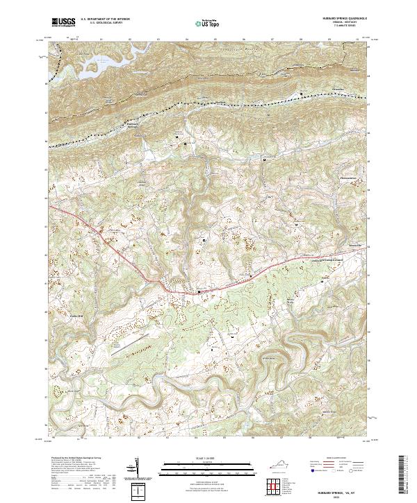
2022 Map of Hubbard Springs
USGS Topo · Published 2022About this map
The Powell River carves a winding path through this corner of Lee County, following the base of Wallens Ridge and creating deep meanders like Wilder Bend. This 2022 survey captures a landscape defined by the parallel ridges of the Appalachian Valley and Ridge province, where Cumberland Mountain and Stone Mountain form the northern horizon. The gap at Hubbard Springs Gap and the notch of Cranks Gap provide historic passage through these formidable barriers, bridging the border between Virginia and Kentucky.
Find a feature on this map
134 named features on this map. Tap any name to fly to it.
Don’t see what you’re looking for? This feature index may not catch every label — zoom into the map to look around manually.
Map Details
Editions of this 2022 Hubbard Springs Map
This is the sole edition of this map. No revisions or reprints were ever made.
Other maps of this area

1887 · Jonesville
USGS Topo · 1:125,000

1891 · Jonesville
USGS Topo · 1:125,000

1903 · Harlan
USGS Topo · 1:48,000

1916 · Harlan
USGS Topo · 1:48,000

1916 · Nolansburg
USGS Topo · 1:48,000

1919 · Nolansburg
USGS Topo · 1:62,500

1919 · Harlan
USGS Topo · 1:62,500

1932 · Hagan
USGS Topo · 1:62,500

1935 · Kyles Ford
USGS Topo · 1:24,000

1935 · Hubbard Springs
USGS Topo · 1:24,000