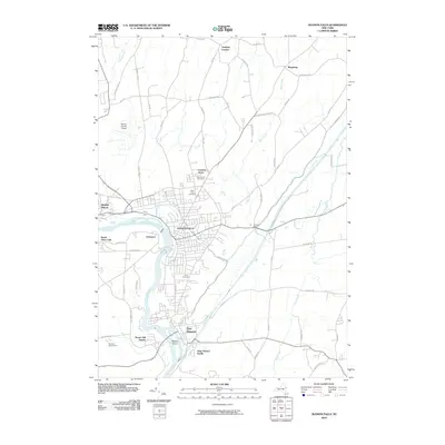
2010 Map of Hudson Falls
USGS Topo · Published 2010About this map
Hudson Falls and Fort Edward define this corridor along the Hudson River, where historical industrial and transport networks converge. The map documents a landscape deeply shaped by water power and navigation, centered on the Champlain Canal and the dramatic drop at Bakers Falls. To the west, the Warren County Airport and the outskirts of Glens Falls show the area's modern development, while smaller historic nodes like Dunham Basin and Vaughns Corners persist in the surrounding countryside.
Find a feature on this map
65 named features on this map. Tap any name to fly to it.
Don’t see what you’re looking for? This feature index may not catch every label — zoom into the map to look around manually.
Map Details
Editions of this 2010 Hudson Falls Map
This is the sole edition of this map. No revisions or reprints were ever made.
Other maps of this area

1893 · Fort Ann
USGS Topo · 1:62,500

1895 · Cambridge
USGS Topo · 1:62,500

1895 · Fort Ann
USGS Topo · 1:62,500

1895 · Glens Falls
USGS Topo · 1:62,500

1897 · Glens Falls
USGS Topo · 1:62,500

1898 · Cambridge
USGS Topo · 1:62,500

1898 · Fort Ann
USGS Topo · 1:62,500

1900 · Schuylerville
USGS Topo · 1:62,500

1901 · Fort Ann
USGS Topo · 1:62,500

1901 · Cambridge
USGS Topo · 1:62,500