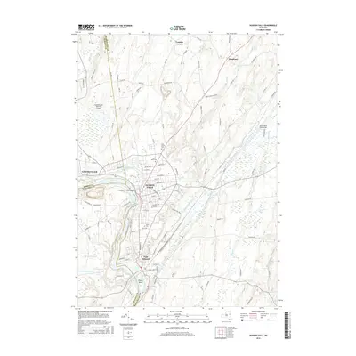
2016 Map of Hudson Falls
USGS Topo · Published 2016About this map
Hudson Falls and Fort Edward anchor this detailed study of the industrial and hydrologic landscape along the Hudson River at the meeting point of Warren, Washington, and Saratoga counties. The map illustrates a complex network of historical water transport, featuring the Glens Falls Feeder Canal and the Old Champlain Canal as they navigate the region's topography. These waterways, alongside larger bodies such as Wood Creek and the Reardon Reservoir, define the area's development from early industrial centers to modern municipalities.
Find a feature on this map
112 named features on this map. Tap any name to fly to it.
Don’t see what you’re looking for? This feature index may not catch every label — zoom into the map to look around manually.
Map Details
Editions of this 2016 Hudson Falls Map
This is the sole edition of this map. No revisions or reprints were ever made.
Other maps of this area

1893 · Fort Ann
USGS Topo · 1:62,500

1895 · Cambridge
USGS Topo · 1:62,500

1895 · Fort Ann
USGS Topo · 1:62,500

1895 · Glens Falls
USGS Topo · 1:62,500

1897 · Glens Falls
USGS Topo · 1:62,500

1898 · Cambridge
USGS Topo · 1:62,500

1898 · Fort Ann
USGS Topo · 1:62,500

1900 · Schuylerville
USGS Topo · 1:62,500

1901 · Fort Ann
USGS Topo · 1:62,500

1901 · Cambridge
USGS Topo · 1:62,500