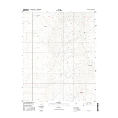
2017 Map of Hugh Lake
USGS Topo · Published 2017About this map
Hugh Lake and the winding course of Hugh Wash define the central hydrology of this high-desert landscape in the Eastern Navajo Agency. The terrain is deeply incised by complex drainage systems, notably Charlie Wash and the expansive Gallegos Canyon, which branches into the West Fork Gallegos Canyon in the southeastern reach of the map. These natural features dictated the placement of early transportation routes, including Ind Road 4090 and a network of county roads like Co Rd 7030 that navigate the high mesas and canyon floors. The map reveals a land structured by section lines and public land survey boundaries, including t27n r13w and t28n r12w, illustrating how 21st-century administrative divisions overlay ancient geological formations like Ojo Amarillo Canyon and West Draw.
Find a feature on this map
22 named features on this map. Tap any name to fly to it.
Don’t see what you’re looking for? This feature index may not catch every label — zoom into the map to look around manually.
Map Details
Editions of this 2017 Hugh Lake Map
This is the sole edition of this map. No revisions or reprints were ever made.
Other maps of this area

1889 · Chaco
USGS Topo · 1:250,000

1892 · Chaco
USGS Topo · 1:250,000

1927 · Sulphur Spring
USGS Topo · 1:96,000

1928 · Kirtland
USGS Topo · 1:125,000

1932 · Kirtland
USGS Topo · 1:125,000

1954 · Shiprock
USGS Topo · 1:250,000

1958 · Shiprock
USGS Topo · 1:250,000

1959 · Shiprock
USGS Topo · 1:250,000
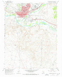
1965 · Farmington South
USGS Topo · 1:24,000
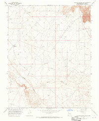
1965 · Gallegos Trading Post
USGS Topo · 1:24,000